
Soubor:Olomouc plan hradeb 1686.jpg

Původní soubor (2 304 × 1 728 pixelů, velikost souboru: 1,84 MB, MIME typ: image/jpeg)
| Tento soubor pochází z Wikimedia Commons. Níže jsou zobrazeny informace, které obsahuje jeho tamější stránka s popisem souboru. |
| Popis |
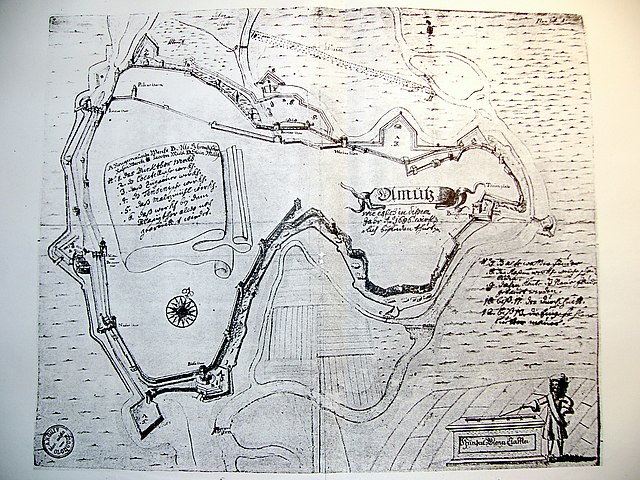
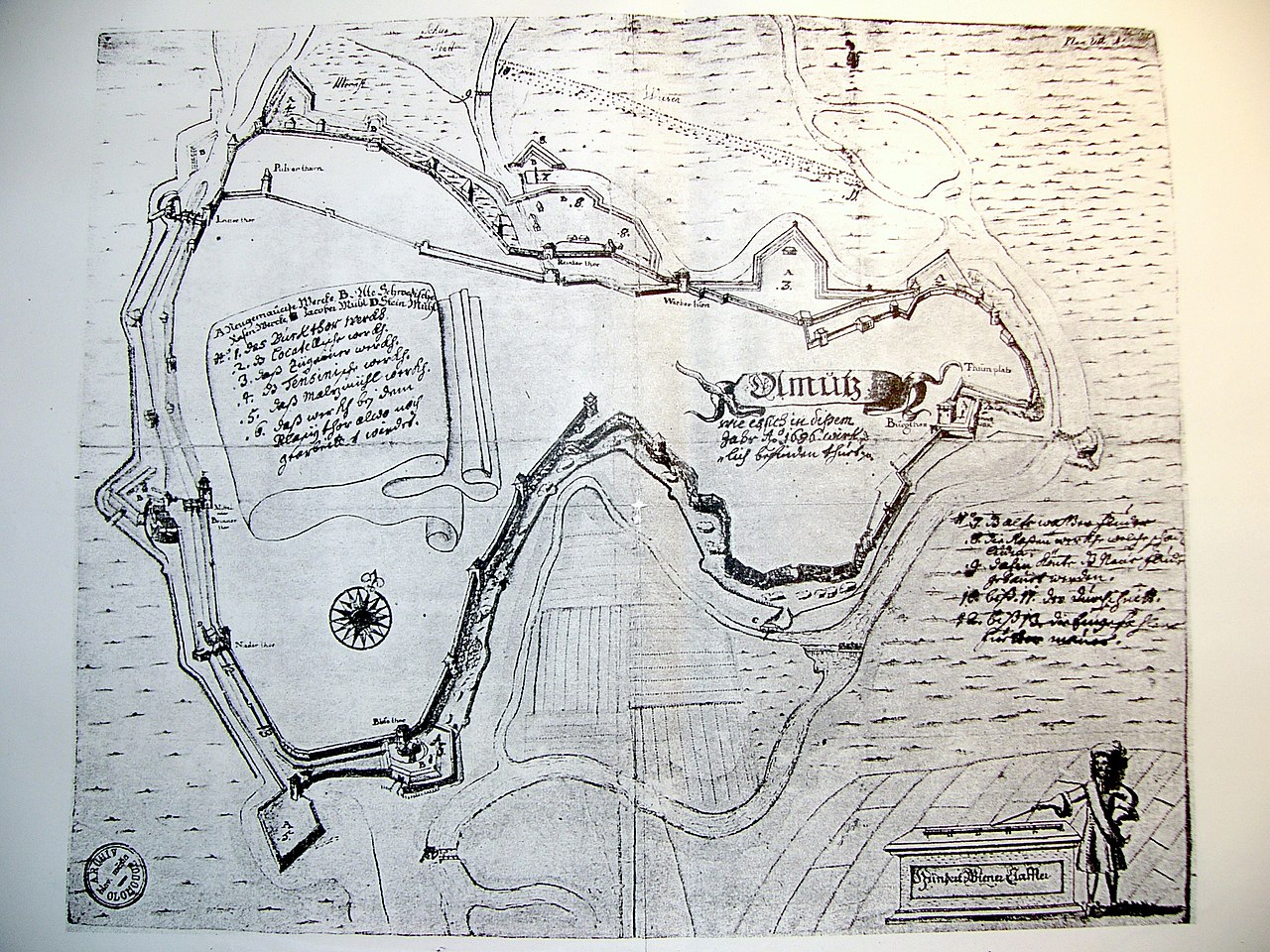
Čeština: Plán hradeb města Olomouce z roku 1686. (Fotografie černobílé kopie tohoto plánu.) |
||||||||||||||||
| Datum | |||||||||||||||||
| Zdroj | Fotografie je vlastním dílem | ||||||||||||||||
| Autor |
Fotografie:
|
||||||||||||||||
| Svolení (Užití tohoto souboru) |
|
||||||||||||||||
Historie souboru
Kliknutím na datum a čas se zobrazí tehdejší verze souboru.
| Datum a čas | Náhled | Rozměry | Uživatel | Komentář | |
|---|---|---|---|---|---|
| současná | 20. 4. 2022, 16:51 | | 2 304 × 1 728 (1,84 MB) | 0m9Ep | Brightness, color |
| 11. 2. 2006, 18:49 |  | 2 304 × 1 728 (1,62 MB) | Snek01 | *{{English}} Historcal map of Olomouc (Czech Republic) in 1686. Photo by Michal Maňas. *{{Czech}} Plán hradeb města Olomouce z roku 1686. (Fotografie černobílé kopie tohoto |
Využití souboru
Tento soubor používá následující stránka:
Globální využití souboru
Tento soubor využívají následující wiki:
- Využití na de.wikipedia.org
- Využití na en.wikipedia.org
- Využití na it.wikipedia.org
- Využití na nl.wikipedia.org
- Využití na sl.wikipedia.org
- Využití na sv.wikipedia.org