
Soubor:Flag of East Nusa Tenggara.svg

Velikost tohoto PNG náhledu tohoto SVG souboru: 800 × 560 pixelů. Jiná rozlišení: 320 × 224 pixelů | 640 × 448 pixelů | 1 024 × 717 pixelů | 1 280 × 896 pixelů | 2 560 × 1 792 pixelů | 1 500 × 1 050 pixelů.
Původní soubor (soubor SVG, nominální rozměr: 1 500 × 1 050 pixelů, velikost souboru: 329 KB)
| Tento soubor pochází z Wikimedia Commons. Níže jsou zobrazeny informace, které obsahuje jeho tamější stránka s popisem souboru. |
| Popis |
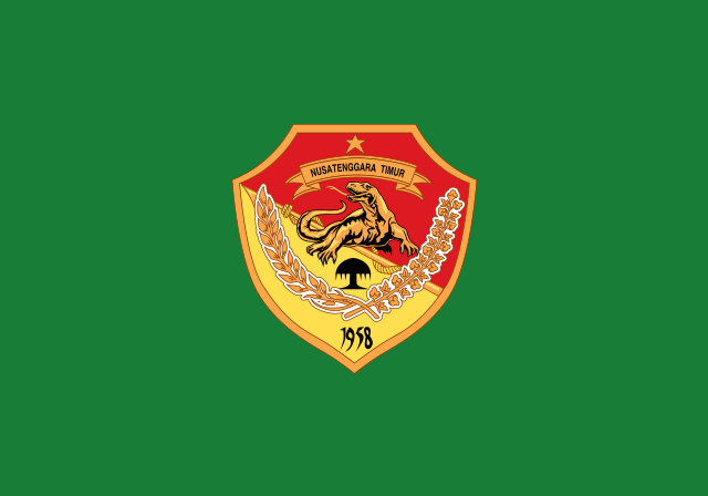
English: Flag of East Nusa Tenggara, See legal regulation about the flag. Bahasa Indonesia: Bendera Nusa Tenggara Timur, Lihat peraturan hukum tentang bendera tersebut. |
|||||
| Datum | ||||||
| Zdroj | Vector version of this file at Commons. Help from Coat of arms of East Nusa Tenggara. | |||||
| Autor |
Tento vektorový obrázek byl vytvořen programem Inkscape . |
|||||
| Svolení (Užití tohoto souboru) |
Já, držitel autorských práv k tomuto dílu, ho tímto zveřejňuji za podmínek následujících licencí: Tento soubor podléhá licenci Creative Commons Uveďte autora-Zachovejte licenci 3.0 Unported
Můžete si zvolit libovolnou z těchto licencí. |
|||||
| Další verze | East Nusa Tenggara flag.png |


Historie souboru
Kliknutím na datum a čas se zobrazí tehdejší verze souboru.
| Datum a čas | Náhled | Rozměry | Uživatel | Komentář | |
|---|---|---|---|---|---|
| současná | 5. 4. 2015, 03:29 | | 1 500 × 1 050 (329 KB) | Muffin Wizard | fix size to balance all Indonesian province flags |
| 29. 7. 2014, 12:11 |  | 600 × 375 (262 KB) | Asadwarraich | {{Information |Description=East Nusa Tenggara Flag |Source=Vector version of this file at Commons. Help from Coat of arms of East Nusa Tenggara. |Date=29-07-2014 |Author=[[Use... |
Využití souboru
Tento soubor používají následující 2 stránky:
Globální využití souboru
Tento soubor využívají následující wiki:
- Využití na af.wikipedia.org
- Využití na ar.wikipedia.org
- Využití na ban.wikipedia.org
- Využití na be.wikipedia.org
- Využití na bjn.wikipedia.org
- Využití na bn.wikipedia.org
- Využití na ca.wikipedia.org
- Využití na ceb.wikipedia.org
- Využití na ckb.wikipedia.org
- Využití na de.wikivoyage.org
- Využití na en.wikipedia.org
- Timor
- West Timor
- ISO 3166-2:ID
- List of islands by population
- List of language names
- Kupang
- List of divided islands
- Sikka Regency
- Ende Regency
- TVRI
- Melanesian Spearhead Group
- West Sumba Regency
- Alor Regency
- Belu Regency
- Central Sumba Regency
- List of political and geographic subdivisions by total area from 20,000 to 50,000 square kilometers
- List of political and geographic subdivisions by total area (all)
- List of political and geographic subdivisions by total area from 30,000 to 50,000 square kilometers
- Ngada Regency
- East Sumba Regency
- West Manggarai Regency
- East Flores Regency
- Manggarai Regency
- Kupang Regency
Zobrazit další globální využití tohoto souboru.