
Soubor:Zeichen 453 - Entfernungstafel auf Autobahnen, StVO 1992.svg

Velikost tohoto PNG náhledu tohoto SVG souboru: 800 × 524 pixelů. Jiná rozlišení: 320 × 210 pixelů | 640 × 420 pixelů | 1 024 × 671 pixelů | 1 280 × 839 pixelů | 2 560 × 1 678 pixelů | 993 × 651 pixelů.
Původní soubor (soubor SVG, nominální rozměr: 993 × 651 pixelů, velikost souboru: 17 KB)
| Tento soubor pochází z Wikimedia Commons. Níže jsou zobrazeny informace, které obsahuje jeho tamější stránka s popisem souboru. |
Popis
| Popis |
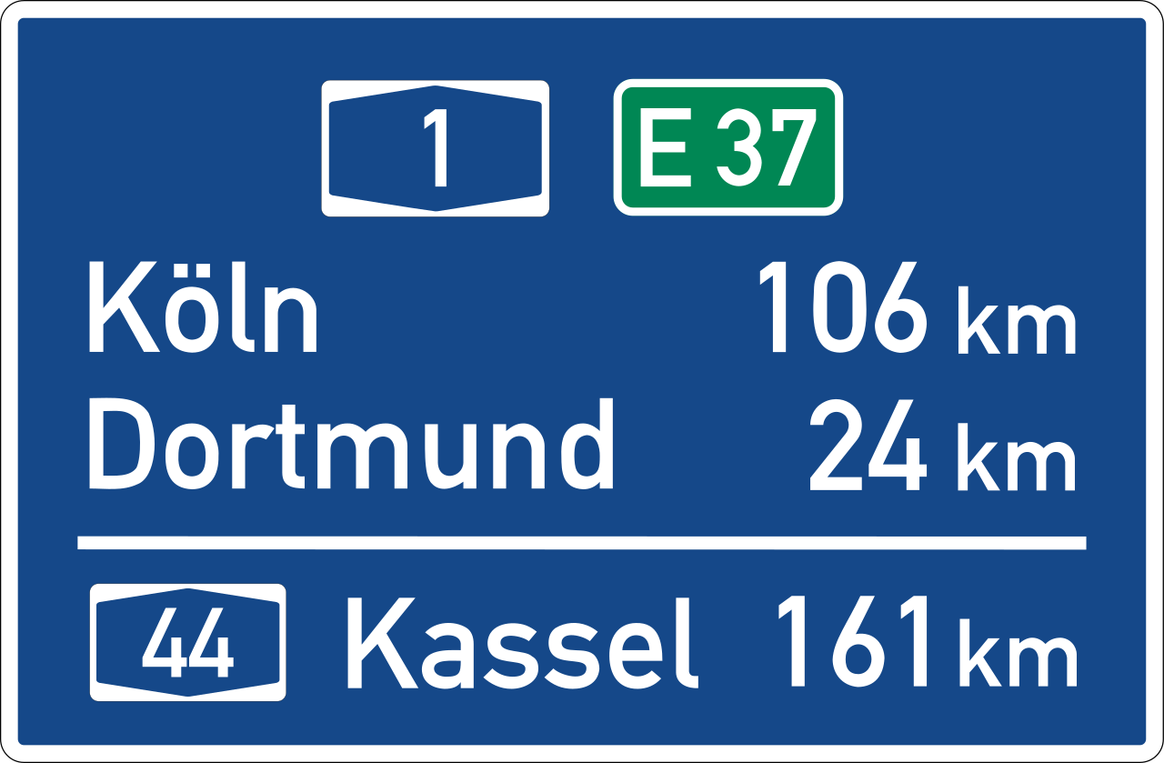
Deutsch: Zeichen 453 – Entfernungstafel
English: Sign No. 453 – destinations and distances
Image taken from the de:Straßenverkehrsordnung (German Road Regulations) as published by the de:Bundesministerium für Verkehr, Bau- und Wohnungswesen (German Federal Ministry of Traffic, Building and Housing) at [1]. Italiano: Segnale 453 del codice della strada tedesco: segnale di conferma su viabilità autostradale |
| Datum | (Hochladedatum) |
| Zdroj | Vlastní dílo |
| Autor | erstes Hochladen einer Datei durch Andreas 06; nach den Vorgaben 2017 korrekt interpretiert und digital umgesetzt durch Mediatus |
| Další verze |
|
| SVG vývoj | Tento vektorový obrázek byl vytvořen programem Inkscape. |

Licence
| This image is in the public domain according to German copyright law because it is part of a statute, ordinance, official decree or judgment (official work) issued by a German authority or court (§ 5 Abs.1 UrhG).
|
 |
| This road sign image is in the public domain according to German copyright law because it is part of the German Verkehrszeichenkatalog (Road Sign Catalogue), Straßenverkehrsordnung (Road Traffic Code) or other statues, ordinances or official decrees proclaimed in the Verkehrsblatt (Traffic Gazette) (§ 5 Abs. 1 UrhG).
|
 |
Historie souboru
Kliknutím na datum a čas se zobrazí tehdejší verze souboru.
| Datum a čas | Náhled | Rozměry | Uživatel | Komentář | |
|---|---|---|---|---|---|
| současná | 19. 9. 2017, 21:16 | | 993 × 651 (17 KB) | Mediatus | komplette Überarbeitung |
| 14. 8. 2013, 16:23 |  | 666 × 435 (16 KB) | Mediatus | korrekter digitaler RAL-Farbton Signalblau (Farbcode: #154889) | |
| 11. 6. 2013, 22:53 |  | 666 × 435 (13 KB) | Jürgen Krause | resized - purged | |
| 1. 8. 2006, 02:27 |  | 1 350 × 880 (37 KB) | Andreas 06 | {{German}} Zeichen 453 – Entfernungstafel <br />{{English}} Sign No. 453 – destinations and distances Image taken from the de:Straßenverkehrsordnung (German Road Regulations) as published by the [[:de:Bundesministerium für Verkehr, Bau- und Wo |
Využití souboru
Tento soubor používá následující stránka:
Globální využití souboru
Tento soubor využívají následující wiki:
- Využití na ar.wikipedia.org
- Využití na de.wikipedia.org
- Autobahnähnliche Straße
- Bildtafel der Verkehrszeichen in der Bundesrepublik Deutschland von 2013 bis 2017
- Benutzer:Antonsusi/Verkehrszeichen
- Bildtafel der Verkehrszeichen in der Bundesrepublik Deutschland von 1992 bis 2013
- Bildtafel der Verkehrszeichen in der Bundesrepublik Deutschland seit 2017
- Benutzer:Heiholf/Spielwiese
- Využití na en.wikipedia.org
- Využití na fi.wikipedia.org
- Využití na fy.wikipedia.org
- Využití na it.wikipedia.org
- Využití na it.wikibooks.org
- Využití na nds.wikipedia.org
- Využití na nl.wikipedia.org
- Využití na sk.wikipedia.org
- Využití na sv.wikipedia.org
- Využití na www.wikidata.org
- Využití na zh.wikipedia.org