
Soubor:Relief map of USA Michigan.png
Velikost tohoto náhledu: 533 × 600 pixelů. Jiná rozlišení: 213 × 240 pixelů | 426 × 480 pixelů | 682 × 768 pixelů | 1 066 × 1 200 pixelů.
Původní soubor (1 066 × 1 200 pixelů, velikost souboru: 1 000 KB, MIME typ: image/png)
| Tento soubor pochází z Wikimedia Commons. Níže jsou zobrazeny informace, které obsahuje jeho tamější stránka s popisem souboru. |
Popis
| Popis |
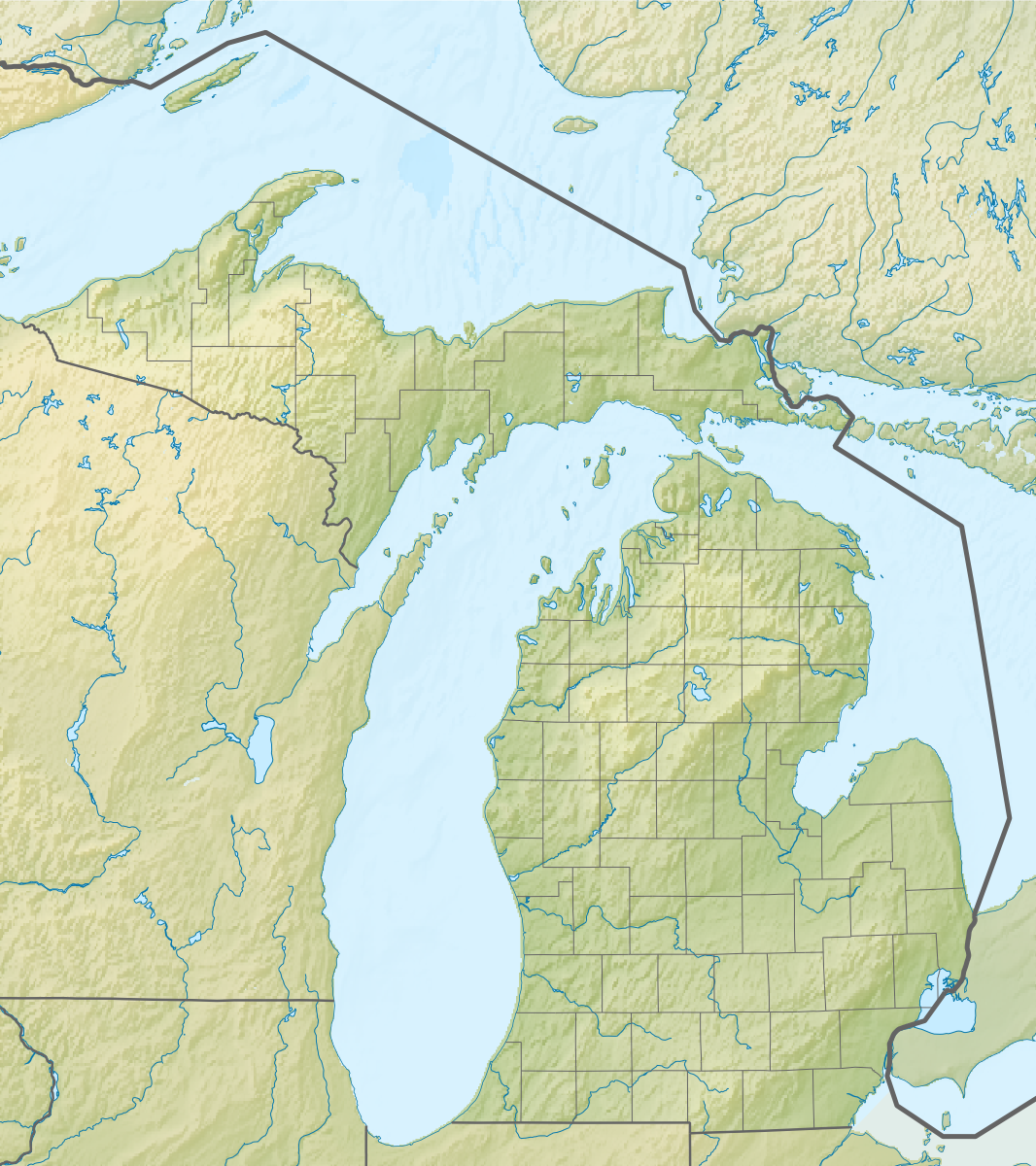
Русский: Физическая карта штата Мичиган (США).
Equirectangular projection, N/S stretching 140.0 %. Geographic limits of the map:
|
| Datum | |
| Zdroj |
|
| Autor | Nzeemin |
| Další verze |
|

Licence
Já, držitel autorských práv k tomuto dílu, ho tímto zveřejňuji za podmínek následující licence:
Tento soubor podléhá licenci Creative Commons Uveďte autora-Zachovejte licenci 3.0 Unported
- Dílo smíte:
- šířit – kopírovat, distribuovat a sdělovat veřejnosti
- upravovat – pozměňovat, doplňovat, využívat celé nebo částečně v jiných dílech
- Za těchto podmínek:
- uveďte autora – Máte povinnost uvést autorství, poskytnout odkaz na licenci a uvést, pokud jste provedli změny. Toho můžete docílit jakýmkoli rozumným způsobem, avšak ne způsobem naznačujícím, že by poskytovatel licence schvaloval nebo podporoval vás nebo vaše užití díla.
- zachovejte licenci – Pokud tento materiál jakkoliv upravíte, přepracujete nebo použijete ve svém díle, musíte své příspěvky šířit pod stejnou nebo slučitelnou licencí jako originál.
Historie souboru
Kliknutím na datum a čas se zobrazí tehdejší verze souboru.
| Datum a čas | Náhled | Rozměry | Uživatel | Komentář | |
|---|---|---|---|---|---|
| současná | 22. 11. 2012, 11:42 | | 1 066 × 1 200 (1 000 KB) | Nzeemin | User created page with UploadWizard |
Využití souboru
Tento soubor používají následující 2 stránky:
Globální využití souboru
Tento soubor využívají následující wiki:
- Využití na ar.wikipedia.org
- Využití na az.wikipedia.org
- Využití na ba.wikipedia.org
- Využití na bn.wikipedia.org
- Využití na ca.wikipedia.org
- Využití na ceb.wikipedia.org
- Využití na ce.wikipedia.org
- Využití na de.wikipedia.org
- Michigansee
- WEYI-Sendemast
- Isle Royale
- Old Mission Peninsula
- Belle Isle (Detroit)
- Belle Isle (Isle Royale National Park)
- Mackinac Island
- Vorlage:Positionskarte USA Michigan
- Indian Lake State Park (Michigan)
- Alexander Lake (Michigan)
- Warren Dunes State Park
- Hubbard Lake (Michigan)
- Grassy Island (Michigan)
- Beaver Island (Charlevoix County, Michigan)
- Pumpspeicherkraftwerk Ludington
- Round Island (Mackinac County)
- Mount Arvon
- Pogy Lake
- Stony Island (Wayne County, Michigan)
- Drummond Island
- WGRT
- Bois Blanc Island (Huronsee)
- WILS
- North Manitou Island
- South Manitou Island
- WCMU-FM
- Grand Island (Alger County, Michigan)
- Suttons Bay (Bucht)
- Otsego Lake (Michigan)
- Využití na de.wikivoyage.org
- Využití na el.wikipedia.org
- Využití na en.wikipedia.org
Zobrazit další globální využití tohoto souboru.