
Soubor:BlankMap-World-Flattened.svg

Velikost tohoto PNG náhledu tohoto SVG souboru: 800 × 406 pixelů. Jiná rozlišení: 320 × 162 pixelů | 640 × 325 pixelů | 1 024 × 519 pixelů | 1 280 × 649 pixelů | 2 560 × 1 299 pixelů | 2 754 × 1 397 pixelů.
Původní soubor (soubor SVG, nominální rozměr: 2 754 × 1 397 pixelů, velikost souboru: 1,68 MB)
| Tento soubor pochází z Wikimedia Commons. Níže jsou zobrazeny informace, které obsahuje jeho tamější stránka s popisem souboru. |
Popis
| Popis |
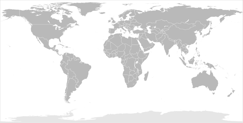
English: Blank political map of the world in modified (flattened) Robinson projection. This image is a sample of output from nugsl-worldmap, a Python script for the manipulation of this map. The script can also produce rotated images, add pinpoint marks at particular geographic coordinates, and produce web pages with clickable areas for specific countries and pinpoint marks.
Note that this map is not equirectangular, and cannot be used as a push-pin map to identify coordinates assuming equal latitude and longitude spacing. A map using the equirectangular projection is available at File:BlankMap-World6-Equirectangular.svg. |
| Datum | (for the script only) |
| Zdroj |
http://www.law.nagoya-u.ac.jp/en/appendix/software/worldmap/ Refactored from Image:BlankMap-World.svg, q.v. |
| Autor | Frank Bennett |
| Svolení (Užití tohoto souboru) |
The map data manipulated by the script is in the public domain. The raw output of the script, including the file shown here, is also in the public domain. |
| Další verze |
Díla odvozená od tohoto souboru:
|
| SVG vývoj | Tento vektorový obrázek byl vytvořen programem Inkscape. |
Licence
| Já, autor tohoto díla, jej tímto uvolňuji jako volné dílo, a to celosvětově. V některých zemích to není podle zákona možné; v takovém případě: Poskytuji komukoli právo užívat toto dílo za libovolným účelem, a to bezpodmínečně s výjimkou podmínek vyžadovaných zákonem. |
Historie souboru
Kliknutím na datum a čas se zobrazí tehdejší verze souboru.
| Datum a čas | Náhled | Rozměry | Uživatel | Komentář | |
|---|---|---|---|---|---|
| současná | 20. 3. 2014, 12:44 | | 2 754 × 1 397 (1,68 MB) | Underlying lk | fix classes for Soudan and South Soudan |
| 16. 3. 2013, 18:01 |  | 2 754 × 1 397 (1,68 MB) | Flappiefh | South Sudan added. | |
| 14. 1. 2008, 13:47 |  | 2 754 × 1 397 (1,67 MB) | Biercenator | Updated to current version of map produced by the script. | |
| 19. 12. 2007, 15:22 |  | 940 × 477 (1,99 MB) | Biercenator | == Summary == Refactored from en:Image:BlankMap-World6.svg, q.v. This image is a sample of output from [http://gsl-nagoya-u.net/appendix/software/worldmap/ nugsl-worldmap], a Python script for the manipulation and maintenance of this map. The flatt | |
| 15. 12. 2007, 17:31 |  | 940 × 477 (2 MB) | Biercenator | Refactored from en:Image:BlankMap-World6.svg, q.v. This image might prove useful if you want to change the area shown in the center of the Robinson projection version, since the conversion can be reversed. | |
| 15. 12. 2007, 17:18 |  | 940 × 477 (2 MB) | Biercenator | == Summary == Refactored from en:BlankMap-World6.svg, q.v. This image might prove useful if you want to area shown in the center of the Robinson projection version, since the conversion can be reversed. |
Využití souboru
Tento soubor nepoužívá žádná stránka.
Globální využití souboru
Tento soubor využívají následující wiki:
- Využití na ca.wikipedia.org
- Využití na de.wikipedia.org
- Využití na en.wikipedia.org
- Využití na es.wikipedia.org
- Využití na fr.wikipedia.org
- Využití na he.wikipedia.org