
Soubor:Wfm lewis landsat.jpg

Velikost tohoto náhledu: 444 × 599 pixelů. Jiná rozlišení: 178 × 240 pixelů | 355 × 480 pixelů | 948 × 1 280 pixelů.
Původní soubor (948 × 1 280 pixelů, velikost souboru: 137 KB, MIME typ: image/jpeg)
| Tento soubor pochází z Wikimedia Commons. Níže jsou zobrazeny informace, které obsahuje jeho tamější stránka s popisem souboru. |
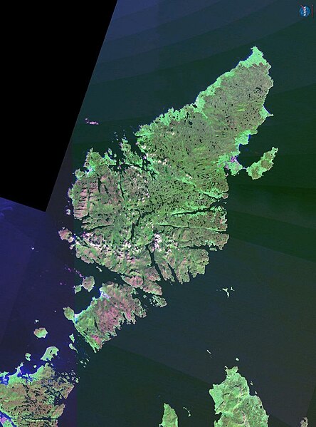
The Isle of Lewis in Scotland.
NASA Landsat 7 image. Final image made using NASA World Wind.
| This image is in the public domain because it is a screenshot from NASA’s globe software World Wind using a public domain layer, such as Blue Marble, MODIS, Landsat, SRTM, USGS or GLOBE.
|
 |
Historie souboru
Kliknutím na datum a čas se zobrazí tehdejší verze souboru.
| Datum a čas | Náhled | Rozměry | Uživatel | Komentář | |
|---|---|---|---|---|---|
| současná | 21. 10. 2006, 20:02 | | 948 × 1 280 (137 KB) | Finlay McWalter | The Isle of Lewis in Scotland. NASA Landsat 7 image. Final image made using NASA World Wind. {{PD-WorldWind}} category:Scotland |
Využití souboru
Tento soubor používají následující 2 stránky:
Globální využití souboru
Tento soubor využívají následující wiki:
- Využití na br.wikipedia.org
- Využití na ceb.wikipedia.org
- Využití na cy.wikipedia.org
- Využití na de.wikipedia.org
- Využití na el.wikipedia.org
- Využití na en.wikipedia.org
- Využití na en.wikinews.org
- Využití na eu.wikipedia.org
- Využití na fr.wikipedia.org
- Využití na gd.wikipedia.org
- Využití na gl.wikipedia.org
- Využití na it.wikipedia.org
- Využití na la.wikipedia.org
- Využití na nn.wikipedia.org
- Využití na no.wikipedia.org
- Využití na pl.wikipedia.org
- Využití na pnb.wikipedia.org
- Využití na pt.wikipedia.org
- Využití na sco.wikipedia.org
- Využití na sh.wikipedia.org
- Využití na sk.wikipedia.org
- Využití na sr.wikipedia.org
- Využití na sv.wikipedia.org
- Využití na uk.wikipedia.org
- Využití na zh.wikipedia.org