
Soubor:Vancouver Island NASA.png
Větší rozlišení není k dispozici
Vancouver_Island_NASA.png (792 × 424 pixelů, velikost souboru: 485 KB, MIME typ: image/png)
| Tento soubor pochází z Wikimedia Commons. Níže jsou zobrazeny informace, které obsahuje jeho tamější stránka s popisem souboru. |
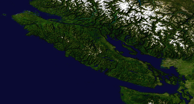
Popis
| Popis | Satellite composition of the whole Earth's surface. |
| Datum | image released 11. Feb. 2002 |
| Zdroj |
Satellite composition of the whole Earth's surface. NASA - Visible Earth, image cropped by HighInBC |
| Autor | NASA/Goddard Space Flight Center |
| Svolení (Užití tohoto souboru) |
Copyright information from http://visibleearth.nasa.gov/useterms.php - With the exception of images produced by the SeaWiFS, QuickBird, and IKONOS instruments all images on the Visible Earth are governed by NASA's Terms of Use below. [...] For all non-private uses, NASA's Terms Of Use are as follows: 1. The imagery is free of licensing fees 2. NASA requires that they be provided a credit as the owners of the imagery [...] |
Licence
| This file is in the public domain in the United States because it was solely created by NASA. NASA copyright policy states that "NASA material is not protected by copyright unless noted". (See Template:PD-USGov, NASA copyright policy page or JPL Image Use Policy.) | ||
 |
Warnings:
|
Historie souboru
Kliknutím na datum a čas se zobrazí tehdejší verze souboru.
| Datum a čas | Náhled | Rozměry | Uživatel | Komentář | |
|---|---|---|---|---|---|
| současná | 6. 8. 2007, 16:24 | | 792 × 424 (485 KB) | Jonesy22 | {{Information |Description= Satellite composition of the whole Earth's surface. |Source= Satellite composition of the whole Earth's surface. |Source = NASA - Visible Earth, image cropped by HighInBC * [http://visibleearth.nasa.gov/view_r |
Využití souboru
Tento soubor používá následující stránka:
Globální využití souboru
Tento soubor využívají následující wiki:
- Využití na ar.wikipedia.org
- Využití na sk.wikipedia.org