
Soubor:Map of USA RI.svg

Velikost tohoto PNG náhledu tohoto SVG souboru: 286 × 186 pixelů. Jiná rozlišení: 320 × 208 pixelů | 640 × 416 pixelů | 1 024 × 666 pixelů | 1 280 × 832 pixelů | 2 560 × 1 665 pixelů.
Původní soubor (soubor SVG, nominální rozměr: 286 × 186 pixelů, velikost souboru: 175 KB)
| Tento soubor pochází z Wikimedia Commons. Níže jsou zobrazeny informace, které obsahuje jeho tamější stránka s popisem souboru. |
Clickable version
| Popis |
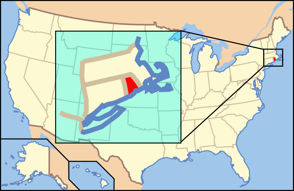
English: Map of USA with Rhode Island highlighted |
||||||||
| Datum | see file history below. | ||||||||
| Zdroj | own work by uploader, based on Image:Map of USA without state names.svg | ||||||||
| Autor |
This version: uploader Base versions this one is derived from: originally created by en:User:Wapcaplet |
||||||||
| Svolení (Užití tohoto souboru) |
Tento soubor podléhá licenci Creative Commons Uveďte autora 2.0 Generic
|
||||||||
| Další verze | image:Map of USA with state names.svg |

Historie souboru
Kliknutím na datum a čas se zobrazí tehdejší verze souboru.
| Datum a čas | Náhled | Rozměry | Uživatel | Komentář | |
|---|---|---|---|---|---|
| současná | 17. 9. 2008, 04:45 | | 286 × 186 (175 KB) | Mattbuck | Reverted to version as of 14:32, 23 April 2008 |
| 26. 4. 2008, 11:06 |  | 286 × 186 (167 KB) | Rub1615~commonswiki | Reverted to version as of 10:28, 9 June 2006 | |
| 23. 4. 2008, 16:32 |  | 286 × 186 (175 KB) | Rfc1394 | Add an inset to the map enlarging the focus area to make it easier to see the designated state. | |
| 9. 6. 2006, 12:28 |  | 286 × 186 (167 KB) | Huebi~commonswiki | {{Information| |Description=Map of USA with Rhode Island highlighted |other_versions=image:Map of USA with state names.svg }} Category:Maps of the United States Category:Maps of Rhode Island Category:SVG maps {{GFDL-en}}{{cc-by-2.0}}{{c |
Využití souboru
Tento soubor používá následující stránka:
Globální využití souboru
Tento soubor využívají následující wiki:
- Využití na af.wikipedia.org
- Využití na ang.wikipedia.org
- Využití na an.wikipedia.org
- Využití na arc.wikipedia.org
- Využití na ay.wikipedia.org
- Využití na az.wikipedia.org
- Využití na ba.wikipedia.org
- Využití na be-tarask.wikipedia.org
- Využití na bg.wikipedia.org
- Využití na bi.wikipedia.org
- Využití na bpy.wikipedia.org
- Využití na bxr.wikipedia.org
- Využití na ca.wikipedia.org
- Využití na ce.wikipedia.org
- Využití na co.wikipedia.org
- Využití na cv.wikipedia.org
- Využití na de.wikipedia.org
- Benutzer:Wolfgang1018/Wikipedia-Quiz
- Kategorie:Rhode Island
- Vorwahlergebnisse der Präsidentschaftswahl in den Vereinigten Staaten 2008
- Weinbau in Rhode Island
- Flaggen und Siegel der US-Bundesstaaten
- Vorwahlergebnisse der Präsidentschaftswahl in den Vereinigten Staaten 2016
- Vorwahlergebnisse der Präsidentschaftswahl in den Vereinigten Staaten 2020
- Vorwahlergebnisse der Präsidentschaftswahl in den Vereinigten Staaten 2024
- Využití na de.wiktionary.org
- Využití na el.wikipedia.org
- Využití na en.wikipedia.org
- List of state and territory name etymologies of the United States
- Category:Rhode Island
- Category:Images of Rhode Island
- Rhode Island wine
- User:Sesh/Democratic Party Presidential Primaries 2008
- Index of Rhode Island–related articles
- Outline of Rhode Island
- Talk:Rhode Island/Archive 1
- Portal:Rhode Island/Intro/1
- LGBT rights in Rhode Island
- Wikipedia:Graphics Lab/Map workshop/Archive/Oct 2011
- Gun laws in Rhode Island
- Paleontology in Rhode Island
- Využití na en.wikibooks.org
- Využití na en.wikinews.org
- Využití na en.wiktionary.org
- Využití na eo.wikipedia.org
Zobrazit další globální využití tohoto souboru.