
Soubor:Lochaber UK relief location map.jpg

Velikost tohoto náhledu: 800 × 501 pixelů. Jiná rozlišení: 320 × 200 pixelů | 640 × 401 pixelů | 1 024 × 641 pixelů | 1 280 × 802 pixelů | 2 001 × 1 253 pixelů.
Původní soubor (2 001 × 1 253 pixelů, velikost souboru: 532 KB, MIME typ: image/jpeg)
| Tento soubor pochází z Wikimedia Commons. Níže jsou zobrazeny informace, které obsahuje jeho tamější stránka s popisem souboru. |
| Popis |
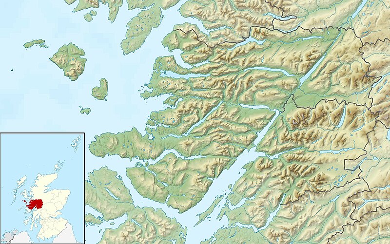
Relief map of Lochaber, UK. Equirectangular map projection on WGS 84 datum, with N/S stretched 180% Geographic limits:
|
| Datum | |
| Zdroj |
|
| Autor | Nilfanion, created using Ordnance Survey data |
| Svolení (Užití tohoto souboru) |
Tento soubor podléhá licenci Creative Commons Uveďte autora-Zachovejte licenci 3.0 Unported Uveďte autora: Contains Ordnance Survey data © Crown copyright and database right
|
| Další verze | File:Lochaber UK blank map.svg - Blank map |
Historie souboru
Kliknutím na datum a čas se zobrazí tehdejší verze souboru.
| Datum a čas | Náhled | Rozměry | Uživatel | Komentář | |
|---|---|---|---|---|---|
| současná | 17. 12. 2011, 02:29 | | 2 001 × 1 253 (532 KB) | Nilfanion | {{Information |Description=Relief map of Lochaber, UK. Equirectangular map projection on WGS 84 datum, with N/S stretched 180% Geographic limits: *West: 6.75W *East: 4.45W *North: 57.20N *South: 56.40N |Source=[[w:Ordnance Survey|Ordnanc |
Využití souboru
Tento soubor používají následující 2 stránky:
Globální využití souboru
Tento soubor využívají následující wiki:
- Využití na ar.wikipedia.org
- Využití na ceb.wikipedia.org
- Využití na en.wikipedia.org
- Rùm
- Canna, Scotland
- Muck, Scotland
- Eigg
- Sanday, Inner Hebrides
- Loch Morar
- Eilean Chathastail
- Castle Tioram
- Loch Ossian
- An Gearanach
- Glen Roy
- Eilean Shona
- Ardtornish
- Loch Sunart
- River Garry, Inverness-shire
- Module:Location map/data/Scotland Lochaber/doc
- Kentra Bay
- Ariundle Oakwood
- Loch Bà (Rannoch Moor)
- Loch Achtriochtan
- Loch Buidhe (Rannoch Moor)
- Glenborrodale Bay
- Glenmore Bay
- Loch Arienas
- River Spean
- River Lochy
- Ardtornish Bay
- Module:Location map/data/Scotland Lochaber
- Sandaig Bay
- Lochan na Stainge
- Inverie Bay
- Loch Beoraid
- Loch an Nostarie
- Loch a' Ghille Ghobaich
- Využití na fr.wikipedia.org
- Využití na ja.wikipedia.org
- Využití na kn.wikipedia.org
- Využití na pl.wikipedia.org
- Využití na sco.wikipedia.org
- Využití na si.wikipedia.org
- Využití na tr.wikipedia.org
- Využití na uk.wikipedia.org
Zobrazit další globální využití tohoto souboru.