
Soubor:Litovelske Pomoravi.jpg
Velikost tohoto náhledu: 800 × 600 pixelů. Jiná rozlišení: 320 × 240 pixelů | 640 × 480 pixelů | 844 × 633 pixelů.
Původní soubor (844 × 633 pixelů, velikost souboru: 511 KB, MIME typ: image/jpeg)
| Tento soubor pochází z Wikimedia Commons. Níže jsou zobrazeny informace, které obsahuje jeho tamější stránka s popisem souboru. |
| Popis |
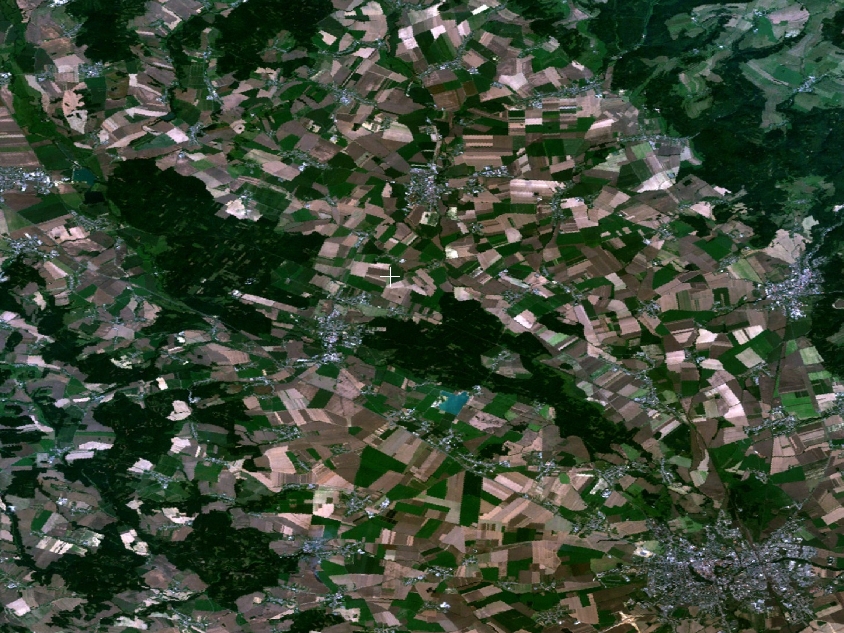
English: map of Litovelské Pomoraví Protected Landscape Area, the Czech Republic |
|||
| Datum | screenhot taken and cropped 30-August-2007 | |||
| Zdroj | screenshot from WW2D-0.99.87, layer NTL Landsat 7 (visible color) | |||
| Autor | NASA, screenshot taken by User:Snek01 | |||
| Svolení (Užití tohoto souboru) |
|

Historie souboru
Kliknutím na datum a čas se zobrazí tehdejší verze souboru.
| Datum a čas | Náhled | Rozměry | Uživatel | Komentář | |
|---|---|---|---|---|---|
| současná | 30. 8. 2007, 20:25 | | 844 × 633 (511 KB) | Snek01 | {{Information |Description={{en |map of Litovelské Pomoraví Protected Landscape Area, the Czech Republic}} |Source=screenshot from WW2D-0.99.87, layer NTL Landsat 7 (visible color) |Date=screenhot taken and cropped 30-August-2007 |Author=NASA, scree |
Využití souboru
Tento soubor používá následující stránka:
Globální využití souboru
Tento soubor využívají následující wiki:
- Využití na pl.wikipedia.org
- Využití na sk.wikipedia.org