
Soubor:Arabian Peninsula (orthographic projection).png

Velikost tohoto náhledu: 600 × 600 pixelů. Jiná rozlišení: 240 × 240 pixelů | 480 × 480 pixelů | 768 × 768 pixelů | 1 024 × 1 024 pixelů | 2 000 × 2 000 pixelů.
Původní soubor (2 000 × 2 000 pixelů, velikost souboru: 666 KB, MIME typ: image/png)
| Tento soubor pochází z Wikimedia Commons. Níže jsou zobrazeny informace, které obsahuje jeho tamější stránka s popisem souboru. |
.png)
Popis
| Popis |
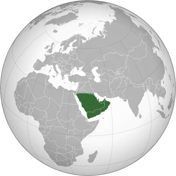
English: The Arabian Peninsula العربية: شبه الجزيرة العربية |
| Datum | |
| Zdroj | Vlastní dílo |
| Autor | Afrogindahood |
Licence
| This map is ineligible for copyright and therefore in the public domain, because it consists entirely of information that is common property and contains no original authorship. For more information, see Commons:Threshold of originality § Maps.
|
Historie souboru
Kliknutím na datum a čas se zobrazí tehdejší verze souboru.
| Datum a čas | Náhled | Rozměry | Uživatel | Komentář | |
|---|---|---|---|---|---|
| současná | 7. 3. 2023, 16:14 | | 2 000 × 2 000 (666 KB) | Treetoes023 | Reverted to version as of 23:11, 6 January 2020 (UTC): This version shows the geographic Arabian Peninsula. |
| 24. 1. 2020, 23:24 |  | 2 000 × 2 000 (399 KB) | Ham105 | Reverted to version as of 03:49, 7 March 2015 (UTC) | |
| 7. 1. 2020, 01:11 |  | 2 000 × 2 000 (666 KB) | Sariyr | Reverted to version as of 22:23, 4 January 2020 (UTC): Northern border line between the Gulf of Aqaba and the Kuwait Bay. | |
| 5. 1. 2020, 06:06 |  | 2 000 × 2 000 (399 KB) | Ham105 | Reverted to version as of 03:49, 7 March 2015 (UTC) unsourced - take it to the discussion page | |
| 5. 1. 2020, 00:23 |  | 2 000 × 2 000 (666 KB) | Sariyr | Reverted to version as of 02:46, 4 January 2020 (UTC): Northern border line between the Gulf of Akaba an the Kuwait Bay. | |
| 4. 1. 2020, 17:37 |  | 2 000 × 2 000 (399 KB) | Ham105 | Reverted to version as of 03:49, 7 March 2015 (UTC) | |
| 4. 1. 2020, 04:46 |  | 2 000 × 2 000 (666 KB) | Sariyr | Northern border line between the Gulf of Akaba an the Kuwait Bay. | |
| 7. 3. 2015, 05:49 |  | 2 000 × 2 000 (399 KB) | Afrogindahood | User created page with UploadWizard |
Využití souboru
Tento soubor používá následující stránka:
Globální využití souboru
Tento soubor využívají následující wiki:
- Využití na ar.wikipedia.org
- Využití na arz.wikipedia.org
- Využití na azb.wikipedia.org
- Využití na bn.wikipedia.org
- Využití na ckb.wikipedia.org
- Využití na el.wikiversity.org
- Využití na en.wikipedia.org
- Využití na fa.wikipedia.org
- Využití na he.wikipedia.org
- Využití na hy.wikipedia.org
- Využití na hyw.wikipedia.org
- Využití na id.wikipedia.org
- Využití na it.wikivoyage.org
- Využití na kn.wikipedia.org
- Využití na mrj.wikipedia.org
- Využití na pnb.wikipedia.org
- Využití na ps.wikipedia.org
- Využití na pt.wikipedia.org
- Využití na sc.wikipedia.org
- Využití na si.wikipedia.org
- Využití na sl.wikipedia.org
- Využití na sr.wikipedia.org
- Využití na th.wikipedia.org
- Využití na ur.wikipedia.org
- Využití na uz.wikipedia.org
- Využití na vi.wikipedia.org
.png)