
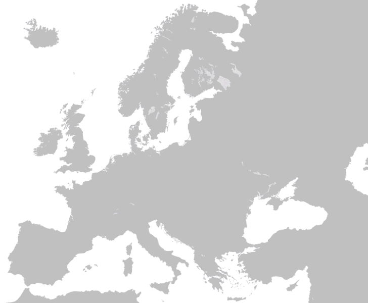
Soubor:Territorial-changes-of-Poland-1635-2009.gif

Velikost tohoto náhledu: 728 × 600 pixelů. Jiná rozlišení: 291 × 240 pixelů | 583 × 480 pixelů | 750 × 618 pixelů.
Původní soubor (750 × 618 pixelů, velikost souboru: 5,38 MB, MIME typ: image/gif, ve smyčce, 90 snímků, 2 min 44 s)
| Tento soubor pochází z Wikimedia Commons. Níže jsou zobrazeny informace, které obsahuje jeho tamější stránka s popisem souboru. |
Popis
| Popis | Territorial-changes-of-Poland-1635-2009 | ||
| Datum | |||
| Zdroj | Vlastní dílo | ||
| Autor | Esemono | ||
| Svolení (Užití tohoto souboru) |
|
See also
Historie souboru
Kliknutím na datum a čas se zobrazí tehdejší verze souboru.
| Datum a čas | Náhled | Rozměry | Uživatel | Komentář | |
|---|---|---|---|---|---|
| současná | 19. 3. 2012, 19:22 | | 750 × 618 (5,38 MB) | Alphathon | New version (with various corrections, the addition of the Holy Roman Empire/German confederation border, a higher-quality Europe map, borders for Ireland/N.I. or Germany/Denmark on the Europe map removed and a better, smother animation). |
| 19. 3. 2012, 19:17 |  | 750 × 618 (5,38 MB) | Alphathon | New version (with various corrections, the addition of the Holy Roman Empire/German confederation border, a higher-quality Europe map, borders for Ireland/N.I. or Germany/Denmark on the Europe map removed and a better, smother animation). | |
| 13. 6. 2009, 10:59 |  | 750 × 618 (4,07 MB) | Esemono | Border adjustments | |
| 7. 4. 2009, 02:24 |  | 750 × 618 (3,88 MB) | Esemono | Add Silesia | |
| 2. 4. 2009, 16:36 |  | 850 × 700 (1,15 MB) | Esemono | fix 20s | |
| 2. 4. 2009, 05:56 |  | 850 × 700 (1,1 MB) | Esemono | {{Information |Description={{en|1=Self made}} |Source=Self made |Author=Self made |Date=2009-03-31 |Permission= |other_versions= }} Poland <!--{{ImageUpload|full}}--> |
Využití souboru
Tento soubor nepoužívá žádná stránka.
Globální využití souboru
Tento soubor využívají následující wiki:
- Využití na en.wikipedia.org
- Využití na fr.wikipedia.org
- Využití na fr.wiktionary.org