
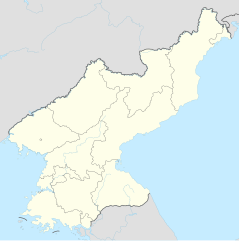
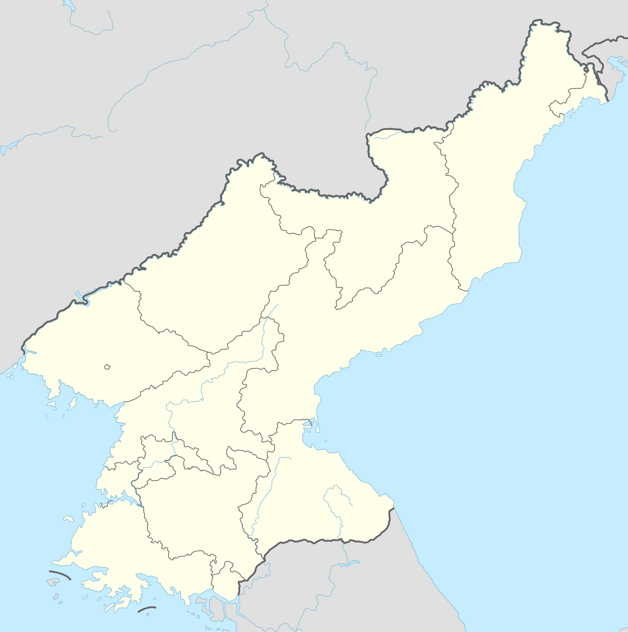
Soubor:North Korea adm location map.svg

Původní soubor (soubor SVG, nominální rozměr: 1 606 × 1 616 pixelů, velikost souboru: 264 KB)
| Tento soubor pochází z Wikimedia Commons. Níže jsou zobrazeny informace, které obsahuje jeho tamější stránka s popisem souboru. |
Popis
| Popis |
Deutsch: Positionskarte von Nordkorea
English: Location map of North Korea
|
||||||||||||
| Datum | |||||||||||||
| Zdroj |
Vlastní dílo pomocí:
|
||||||||||||
| Autor | NordNordWest | ||||||||||||

|
Tato mapa byla vytvořena nebo vylepšena v německé Kartenwerkstatt (Mapová laboratoř). Můžete také navrhnout mapy k vylepšení.
|
Licence
Usage of this file with:

explanatory notes: Legally binding is only the full legalcode. For a free usage I recommend to respect the following licence conditions:
1. Provide my name as given above: NordNordWest,
2. a copy of, or the URI for, the applicable license: https://creativecommons.org/licenses/by-sa/3.0/de/legalcode,
3. the title of the work,
4. in the case of an adaptation, a credit identifying the use of the work in the adaptation.
This license and the rights granted hereunder will terminate automatically upon any breach by you of the terms of this license. Any of the above conditions can be waived if you get permission from the copyright holder. If you have questions or wish differing conditions, please contact me through nnwest or my discussion page ![]() t-online.de
t-online.de
- Dílo smíte:
- šířit – kopírovat, distribuovat a sdělovat veřejnosti
- upravovat – pozměňovat, doplňovat, využívat celé nebo částečně v jiných dílech
- Za těchto podmínek:
- uveďte autora – Máte povinnost uvést autorství, poskytnout odkaz na licenci a uvést, pokud jste provedli změny. Toho můžete docílit jakýmkoli rozumným způsobem, avšak ne způsobem naznačujícím, že by poskytovatel licence schvaloval nebo podporoval vás nebo vaše užití díla.
- zachovejte licenci – Pokud tento materiál jakkoliv upravíte, přepracujete nebo použijete ve svém díle, musíte své příspěvky šířit pod stejnou nebo slučitelnou licencí jako originál.

Historie souboru
Kliknutím na datum a čas se zobrazí tehdejší verze souboru.
| Datum a čas | Náhled | Rozměry | Uživatel | Komentář | |
|---|---|---|---|---|---|
| současná | 1. 12. 2022, 22:40 | | 1 606 × 1 616 (264 KB) | NordNordWest | corr |
| 11. 9. 2015, 19:06 |  | 1 606 × 1 616 (275 KB) | NordNordWest | corr | |
| 9. 9. 2015, 12:47 |  | 1 606 × 1 616 (275 KB) | NordNordWest | corr | |
| 9. 9. 2015, 12:36 |  | 1 606 × 1 616 (276 KB) | NordNordWest | == {{int:filedesc}} == {{Information |Description= {{de|1=Positionskarte von Nordkorea}} {{en|1=Location map of North Korea}} {{Location map series N |stretching=120 |top=43.2 |bottom=37.5 |left=124.1 |right=130.9 }} |Source={{Own using}} * United Stat... |
Využití souboru
Tento soubor používá následujících 47 stránek:
- Andžu
- Hamhung
- Hedžu
- Hjesan
- Hjŏngdžesangujŏk
- Huičchon
- Hörjong
- Janggak
- Kanggje
- Kesong
- Kečchon
- Kimčchek
- Kusong
- Mangjŏngdägujŏk
- Manpcho
- Mezinárodní letiště Pchjongjang
- Moranbonggujŏk
- Munčchon
- Nampcho
- Nebeské jezero
- Pchjongjang
- Pchjongsong
- Potchongganggujŏk
- Rangnanggujŏk
- Rason
- Račin
- Rjŏkpchogujŏk
- Rŭngra
- Sadonggujŏk
- Sariwon
- Sinpcho
- Sinuidžu
- Songnim
- Sŏngjogujŏk
- Sŏsŏnggujŏk
- Tančchon
- Tokčchon
- Tongdäwŏngujŏk
- Tábor 22
- Tädongganggujŏk
- Täsŏnggujŏk
- Wonsan
- Čchongdžin
- Čongdžu
- Čunggujŏk
- Ŭndžŏnggujŏk
- Šablona:LocMap Severní Korea
Globální využití souboru
Tento soubor využívají následující wiki:
- Využití na af.wikipedia.org
- Využití na als.wikipedia.org
- Využití na an.wikipedia.org
- Využití na ar.wikipedia.org
- Využití na az.wikipedia.org
- Využití na ba.wikipedia.org
- Využití na bcl.wikipedia.org
- Využití na be-tarask.wikipedia.org
- Využití na be.wikipedia.org
- Využití na bg.wikipedia.org
- Využití na bn.wikipedia.org
- Využití na bs.wikipedia.org
- Využití na ca.wikipedia.org
- Využití na cdo.wikipedia.org
Zobrazit další globální využití tohoto souboru.