
Soubor:National Atlas of the USA 1970 - Pacific Outlying Areas.jpg

Velikost tohoto náhledu: 800 × 544 pixelů. Jiná rozlišení: 320 × 218 pixelů | 640 × 435 pixelů | 1 024 × 696 pixelů | 1 280 × 871 pixelů | 2 560 × 1 741 pixelů | 4 170 × 2 836 pixelů.
Původní soubor (4 170 × 2 836 pixelů, velikost souboru: 2,04 MB, MIME typ: image/jpeg)
| Tento soubor pochází z Wikimedia Commons. Níže jsou zobrazeny informace, které obsahuje jeho tamější stránka s popisem souboru. |
Popis
| Popis |
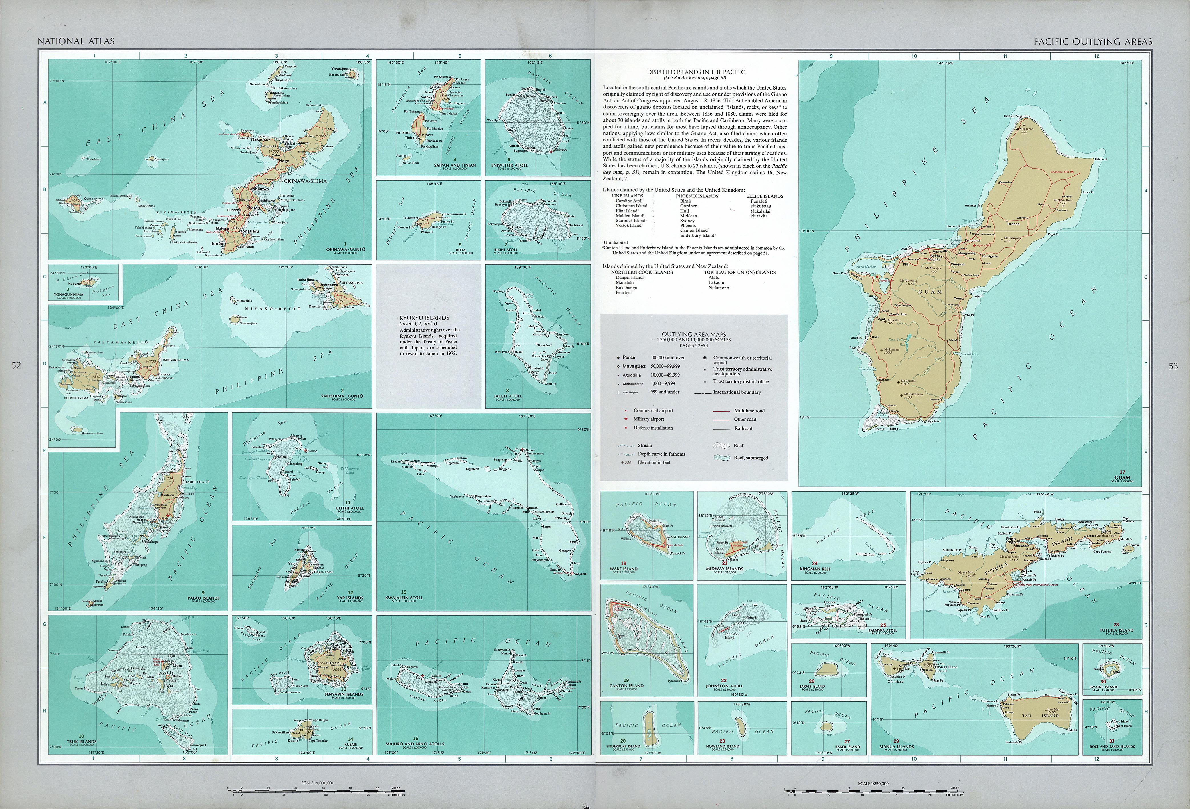
English: National Atlas of the United States, page "Pacific Outlying Areas", with map insets (all uploaded separately) |
| Datum | |
| Zdroj | https://www.lib.utexas.edu/maps/national_atlas_1970/ca000040.jpg |
| Autor | United States Department of the Interior |
| Další verze |
|


Licence
| This work is from the Library of Congress. According to the library, there are no known copyright restrictions on the use of this work. |  |
Historie souboru
Kliknutím na datum a čas se zobrazí tehdejší verze souboru.
| Datum a čas | Náhled | Rozměry | Uživatel | Komentář | |
|---|---|---|---|---|---|
| současná | 17. 10. 2016, 15:16 | | 4 170 × 2 836 (2,04 MB) | Mauerquadrant | Reverted to version as of 19:25, 16 October 2016 (UTC) |
| 17. 10. 2016, 15:15 |  | 492 × 301 (84 KB) | Mauerquadrant | Cropped 6 % horizontally and 11 % vertically using CropTool with precise mode. | |
| 17. 10. 2016, 15:13 |  | 521 × 339 (93 KB) | Mauerquadrant | Cropped 88 % horizontally and 88 % vertically using CropTool with precise mode. | |
| 16. 10. 2016, 21:25 |  | 4 170 × 2 836 (2,04 MB) | Ratzer | User created page with UploadWizard |
Využití souboru
Tento soubor nepoužívá žádná stránka.
Globální využití souboru
Tento soubor využívají následující wiki:
- Využití na de.wikipedia.org