
Soubor:Map of Texas highlighting Brewster County.svg

Velikost tohoto PNG náhledu tohoto SVG souboru: 631 × 600 pixelů. Jiná rozlišení: 253 × 240 pixelů | 505 × 480 pixelů | 808 × 768 pixelů | 1 077 × 1 024 pixelů | 2 155 × 2 048 pixelů | 12 473 × 11 855 pixelů.
Původní soubor (soubor SVG, nominální rozměr: 12 473 × 11 855 pixelů, velikost souboru: 304 KB)
| Tento soubor pochází z Wikimedia Commons. Níže jsou zobrazeny informace, které obsahuje jeho tamější stránka s popisem souboru. |
Popis
| Popis |
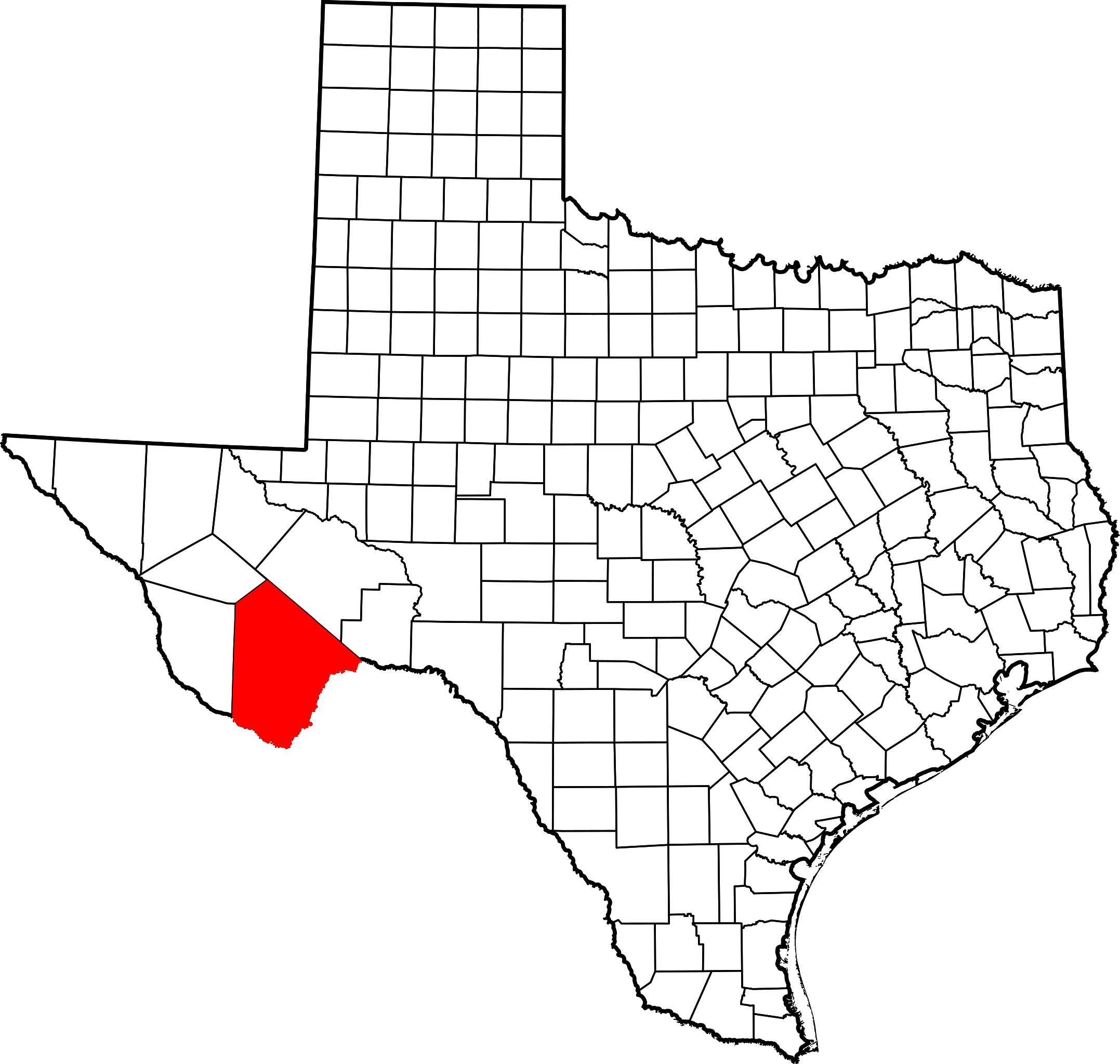
English: This is a locator map showing Brewster County in Texas. For more information, see Commons:United States county locator maps. |
| Datum | |
| Zdroj |
Vlastní dílo: English: The maps use data from nationalatlas.gov, specifically countyp020.tar.gz on the Raw Data Download page. The maps also use state outline data from statesp020.tar.gz. The Florida maps use hydrogm020.tar.gz to display Lake Okeechobee. |
| Autor | David Benbennick |
Licence
| Já, autor tohoto díla, jej tímto uvolňuji jako volné dílo, a to celosvětově. V některých zemích to není podle zákona možné; v takovém případě: Poskytuji komukoli právo užívat toto dílo za libovolným účelem, a to bezpodmínečně s výjimkou podmínek vyžadovaných zákonem. |
Historie souboru
Kliknutím na datum a čas se zobrazí tehdejší verze souboru.
| Datum a čas | Náhled | Rozměry | Uživatel | Komentář | |
|---|---|---|---|---|---|
| současná | 12. 2. 2006, 18:41 | | 12 473 × 11 855 (304 KB) | David Benbennick | {{subst:User:Dbenbenn/clm|county=Brewster County|state=Texas|type=county}} |
Využití souboru
Tento soubor používá následující stránka:
Globální využití souboru
Tento soubor využívají následující wiki:
- Využití na ar.wikipedia.org
- Využití na be.wikipedia.org
- Využití na bg.wikipedia.org
- Využití na bpy.wikipedia.org
- Využití na cdo.wikipedia.org
- Využití na ceb.wikipedia.org
- Využití na cy.wikipedia.org
- Využití na de.wikipedia.org
- Využití na el.wikipedia.org
- Využití na en.wikipedia.org
- List of counties in Texas
- Brewster County, Texas
- Alpine, Texas
- Marathon, Texas
- Study Butte-Terlingua, Texas
- Terlingua, Texas
- Boquillas, Texas
- Persimmon Gap
- Marathon Uplift
- Template:Brewster County, Texas
- Category:Wikipedia requested photographs in Brewster County, Texas
- Lajitas, Texas
- User:Nyttend/County templates/TX/1
- Chalk Mountains (Texas)
- A. S. Gage Ranch
- Terlingua Creek
- Rosenfeld, Texas
- Altuda, Texas
- Study Butte, Texas
- Template:BrewsterCountyTX-geo-stub
- Foley County, Texas
- Glenn Springs, Texas
- Luna Jacal
- Castolon
- National Register of Historic Places listings in Brewster County, Texas
- Category:Populated places in Brewster County, Texas
- Arick Village, Texas
- Mariscal Mine
- Rancho Estelle
- Homer Wilson Ranch
Zobrazit další globální využití tohoto souboru.