
Soubor:Bishopric of Strasbourg 1547.png

Bishopric_of_Strasbourg_1547.png (536 × 522 pixelů, velikost souboru: 599 KB, MIME typ: image/png)
| Tento soubor pochází z Wikimedia Commons. Níže jsou zobrazeny informace, které obsahuje jeho tamější stránka s popisem souboru. |
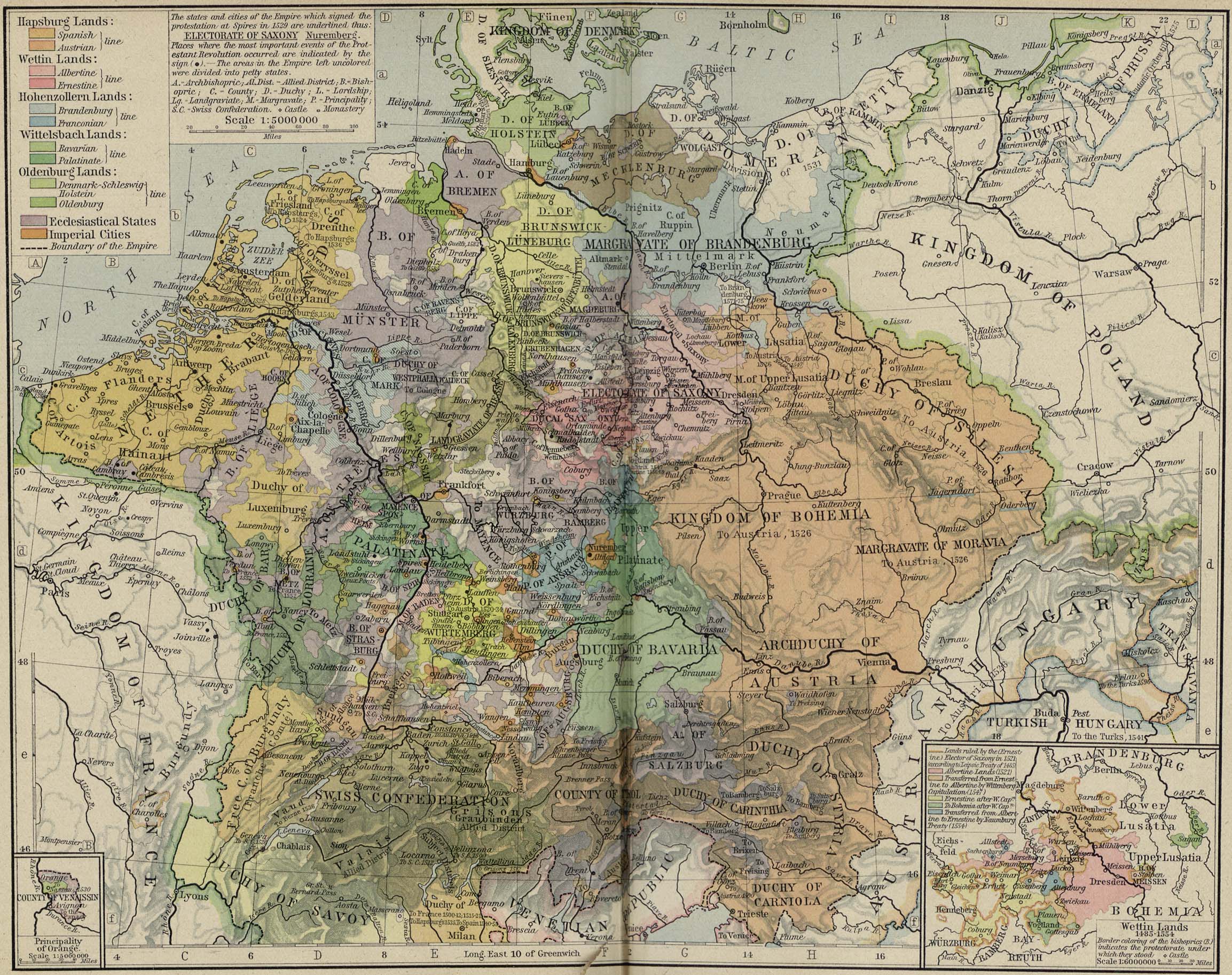
| Popis | Modern map showing the Bishopric of Strasbourg and part of the Rhineland circa 1547 | ||||||
| Datum | (UTC) | ||||||
| Zdroj | Cropped from Central Europe about 1547, from The Historical Atlas by William R. Shepherd, 1923 | ||||||
| Autor | OwenBlacker | ||||||
| Svolení (Užití tohoto souboru) |
|
||||||
Historie souboru
Kliknutím na datum a čas se zobrazí tehdejší verze souboru.
| Datum a čas | Náhled | Rozměry | Uživatel | Komentář | |
|---|---|---|---|---|---|
| současná | 16. 9. 2007, 14:22 | | 536 × 522 (599 KB) | OwenBlacker | {{Information |Description=Map of the w:Bishopric of Strasbourg, circa 1547 |Source=Cropped from [http://www.lib.utexas.edu/maps/historical/shepherd/central_europe_1547.jpg Central Europe about 1547], from ''The Historical Atlas'' by William R. Sheph |
Využití souboru
Tento soubor používá následující stránka:
Globální využití souboru
Tento soubor využívají následující wiki:
- Využití na ca.wikipedia.org
- Využití na de.wikipedia.org
- Využití na en.wikipedia.org
- Využití na es.wikipedia.org
- Využití na fr.wikipedia.org
- Využití na he.wikipedia.org
- Využití na it.wikipedia.org
- Využití na ru.wikipedia.org
- Využití na sh.wikipedia.org
- Využití na vi.wikipedia.org
- Využití na www.wikidata.org