
Soubor:Northumberland UK location map.svg

Velikost tohoto PNG náhledu tohoto SVG souboru: 499 × 599 pixelů. Jiná rozlišení: 200 × 240 pixelů | 400 × 480 pixelů | 639 × 768 pixelů | 853 × 1 024 pixelů | 1 705 × 2 048 pixelů | 1 120 × 1 345 pixelů.
Původní soubor (soubor SVG, nominální rozměr: 1 120 × 1 345 pixelů, velikost souboru: 1,68 MB)
| Tento soubor pochází z Wikimedia Commons. Níže jsou zobrazeny informace, které obsahuje jeho tamější stránka s popisem souboru. |
| Popis |
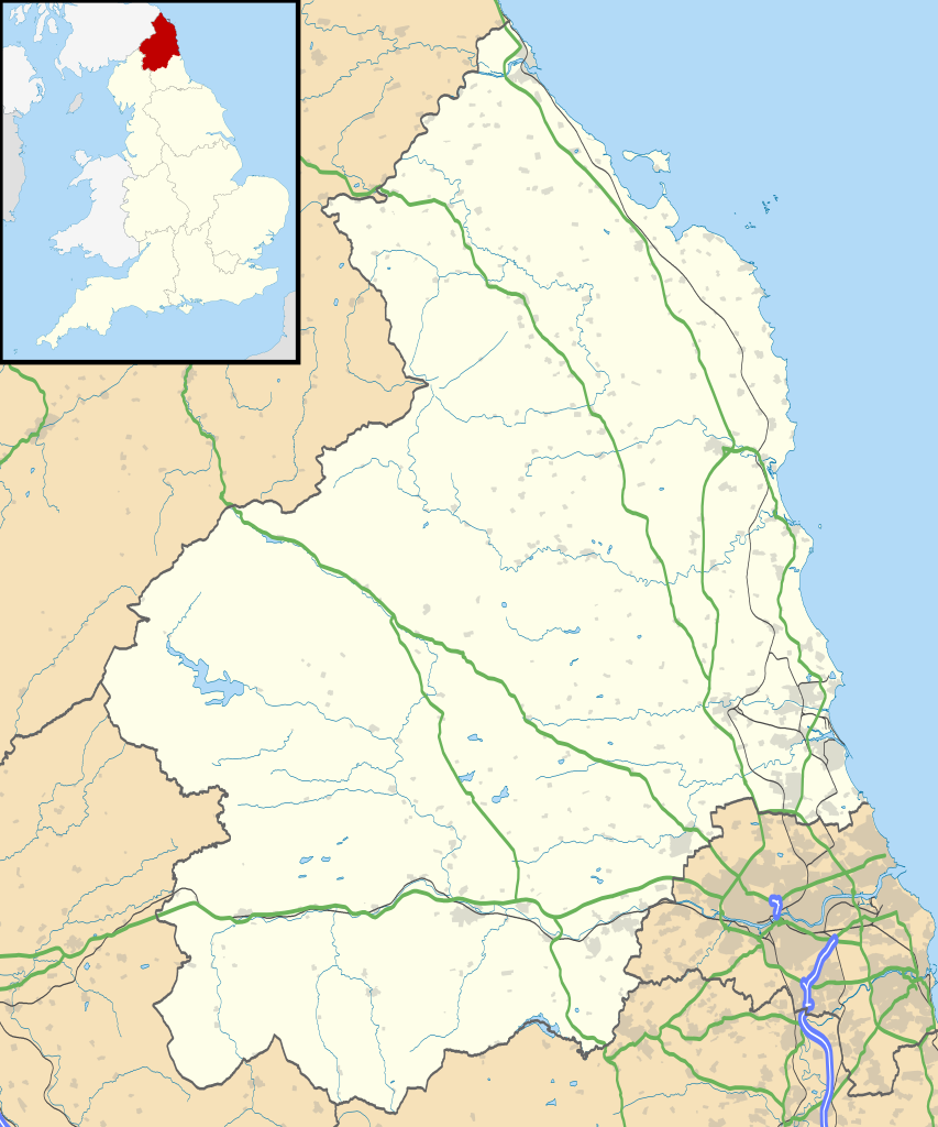
Map of Northumberland, UK with the following information shown:
Equirectangular map projection on WGS 84 datum, with N/S stretched 170% Geographic limits:
|
| Datum | |
| Zdroj |
|
| Autor | Nilfanion, created using Ordnance Survey data |
| Svolení (Užití tohoto souboru) |
Tento soubor podléhá licenci Creative Commons Uveďte autora-Zachovejte licenci 3.0 Unported Uveďte autora: Contains Ordnance Survey data © Crown copyright and database right
|
| Další verze | File:Northumberland UK district map (blank).svg - Blank map |
.svg)
Historie souboru
Kliknutím na datum a čas se zobrazí tehdejší verze souboru.
| Datum a čas | Náhled | Rozměry | Uživatel | Komentář | |
|---|---|---|---|---|---|
| současná | 26. 9. 2010, 21:08 | | 1 120 × 1 345 (1,68 MB) | Nilfanion | {{Information |Description=Map of Northumberland, UK with the following information shown: *Administrative borders *Coastline, lakes and rivers *Roads and railways *Urban areas Equirectangular map projection on WGS 84 datum, with N/S |
Využití souboru
Tento soubor nepoužívá žádná stránka.
Globální využití souboru
Tento soubor využívají následující wiki:
- Využití na ar.wikipedia.org
- Využití na bg.wikipedia.org
- Využití na ceb.wikipedia.org
- Využití na de.wikipedia.org
- Využití na en.wikipedia.org
- Churnsike Lodge
- Lindisfarne
- Bamburgh
- Berwick-upon-Tweed
- Dunstanburgh Castle
- Craster
- Embleton, Northumberland
- Alnwick
- Alnwick Castle
- Edlingham Castle
- Seahouses
- Farne Islands
- Belford, Northumberland
- Branxton, Northumberland
- Beal, Northumberland
- Prudhoe
- Corbridge
- Hexham
- Bedlington
- Rothbury
- Wooler
- Amble
- Morpeth, Northumberland
- Ancroft
- Islandshire
- Blyth, Northumberland
- Coquet Island
- Cramlington
- Newbiggin-by-the-Sea
- Fusiliers Museum of Northumberland
- Battle of Hedgeley Moor
- Kielder Forest
- Stakeford
- Hexhamshire
- Norham
- Warkworth, Northumberland
- Bamburgh Castle
- Howick house
- RAF Boulmer
- Morpeth railway station
- Ellington, Northumberland
- Etal Castle
- Seaton Delaval Hall
- Haltwhistle
- Sinderhope
- Allendale, Northumberland
Zobrazit další globální využití tohoto souboru.