
Soubor:Papua New Guinea location map.svg

Velikost tohoto PNG náhledu tohoto SVG souboru: 800 × 481 pixelů. Jiná rozlišení: 320 × 192 pixelů | 640 × 385 pixelů | 1 024 × 615 pixelů | 1 280 × 769 pixelů | 2 560 × 1 538 pixelů | 2 280 × 1 370 pixelů.
Původní soubor (soubor SVG, nominální rozměr: 2 280 × 1 370 pixelů, velikost souboru: 501 KB)
| Tento soubor pochází z Wikimedia Commons. Níže jsou zobrazeny informace, které obsahuje jeho tamější stránka s popisem souboru. |
Popis
| Popis |
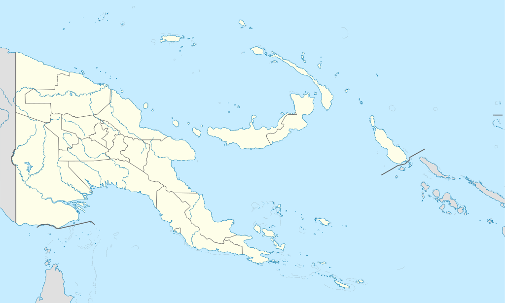
Deutsch: Positionskarte von Papua-Neuguinea
Quadratische Plattkarte. Geographische Begrenzung der Karte:
English: Location map of Papua New Guinea
Equirectangular projection. Geographic limits of the map:
|
| Datum | 05-09-2008 |
| Zdroj |
own work, using
|
| Autor | NordNordWest |
| Další verze |
|


|
Tato mapa byla vytvořena nebo vylepšena v německé Kartenwerkstatt (Mapová laboratoř). Můžete také navrhnout mapy k vylepšení.
|
Licence
Já, držitel autorských práv k tomuto dílu, ho tímto zveřejňuji za podmínek následujících licencí:

|
Tento dokument smí být kopírován, šířen nebo upravován podle podmínek Svobodné licence GNU pro dokumenty verze 1.2 nebo libovolné vyšší verze publikované nadací Free Software Foundation. Dokument nemá neměnné části ani texty na předním či zadním přebalu. Kopie textu licence je k dispozici v oddíle nazvaném GNU Free Documentation License. |
Tento soubor podléhá licenci Creative Commons Uveďte autora-Zachovejte licenci 3.0 Unported
- Dílo smíte:
- šířit – kopírovat, distribuovat a sdělovat veřejnosti
- upravovat – pozměňovat, doplňovat, využívat celé nebo částečně v jiných dílech
- Za těchto podmínek:
- uveďte autora – Máte povinnost uvést autorství, poskytnout odkaz na licenci a uvést, pokud jste provedli změny. Toho můžete docílit jakýmkoli rozumným způsobem, avšak ne způsobem naznačujícím, že by poskytovatel licence schvaloval nebo podporoval vás nebo vaše užití díla.
- zachovejte licenci – Pokud tento materiál jakkoliv upravíte, přepracujete nebo použijete ve svém díle, musíte své příspěvky šířit pod stejnou nebo slučitelnou licencí jako originál.
Můžete si zvolit libovolnou z těchto licencí.
Historie souboru
Kliknutím na datum a čas se zobrazí tehdejší verze souboru.
| Datum a čas | Náhled | Rozměry | Uživatel | Komentář | |
|---|---|---|---|---|---|
| současná | 5. 6. 2012, 17:48 | | 2 280 × 1 370 (501 KB) | NordNordWest | upd |
| 26. 5. 2011, 09:49 |  | 2 280 × 1 370 (767 KB) | NordNordWest | Reverted to version as of 19:42, 8 December 2009 no need to revert | |
| 26. 5. 2011, 01:00 |  | 2 280 × 1 370 (674 KB) | AlexR.L. | Reverted to version as of 19:51, 5 September 2008 | |
| 8. 12. 2009, 21:42 |  | 2 280 × 1 370 (767 KB) | NordNordWest | + rivers | |
| 5. 9. 2008, 21:51 |  | 2 280 × 1 370 (674 KB) | NordNordWest | {{Information |Description= {{de|Positionskarte von Papua-Neuguinea}} Quadratische Plattkarte. Geographische Begrenzung der Karte: * N: 0.6° S * S: 12.2° S * W: 140.4° O * O: 159.7° O {{en|Location map of [[:en:Papua New Guinea |
Využití souboru
Tento soubor používá následujících 13 stránek:
Globální využití souboru
Tento soubor využívají následující wiki:
- Využití na af.wikipedia.org
- Využití na als.wikipedia.org
- Vorlage:Positionskarte Papua-Neuguinea
- Port Moresby
- Bismarck-Archipel
- Neubritannien
- Duke-of-York-Inseln
- Admiralitäts-Inseln
- D’Entrecasteaux-Inseln
- Lavongai
- Westliche Inseln
- Feni-Inseln
- Lihir-Inseln
- Tabar-Inseln
- Tanga-Inseln
- St.-Matthias-Inseln
- Vitu-Inseln
- Neuirland
- Louisiade-Archipel
- Marshall-Bennett-Inseln
- Woodlark-Insel
- Trobriand-Inseln
- Mount Wilhelm
- Využití na an.wikipedia.org
- Využití na ar.wikipedia.org
- Využití na ast.wikipedia.org
- Puertu Moresbi
- Nueva Bretaña
- Montes Herzog
- Archipiélagu Bismarck
- Islles del Duque de York
- Tabubil
- Islla Daru
- Estrechu de Dampier
- Islles del Almirantalgu
- Monte Lamington
- Archipiélagu de les Lluisiaes
- Aeropuertu Internacional de Jacksons
- Aeropuertu de Guasopa
- Puertu de Dreger
- Módulu:Mapa de llocalización/datos/Papúa Nueva Guinea
- Módulu:Mapa de llocalización/datos/Papúa Nueva Guinea/usu
- Islles d'Entrecasteaux
- Provincia de Nueva Bretaña Occidental
- Islles Trobriand
- Kitava
- Vakuta
Zobrazit další globální využití tohoto souboru.