
Soubor:Haute-Normandie region location map.svg

Velikost tohoto PNG náhledu tohoto SVG souboru: 465 × 600 pixelů. Jiná rozlišení: 186 × 240 pixelů | 372 × 480 pixelů | 595 × 768 pixelů | 794 × 1 024 pixelů | 1 587 × 2 048 pixelů | 969 × 1 250 pixelů.
Původní soubor (soubor SVG, nominální rozměr: 969 × 1 250 pixelů, velikost souboru: 377 KB)
| Tento soubor pochází z Wikimedia Commons. Níže jsou zobrazeny informace, které obsahuje jeho tamější stránka s popisem souboru. |
Popis
| Pozice fotografa | | Tento snímek a mnohé další na: OpenStreetMap |
|---|
| Popis |
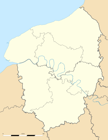
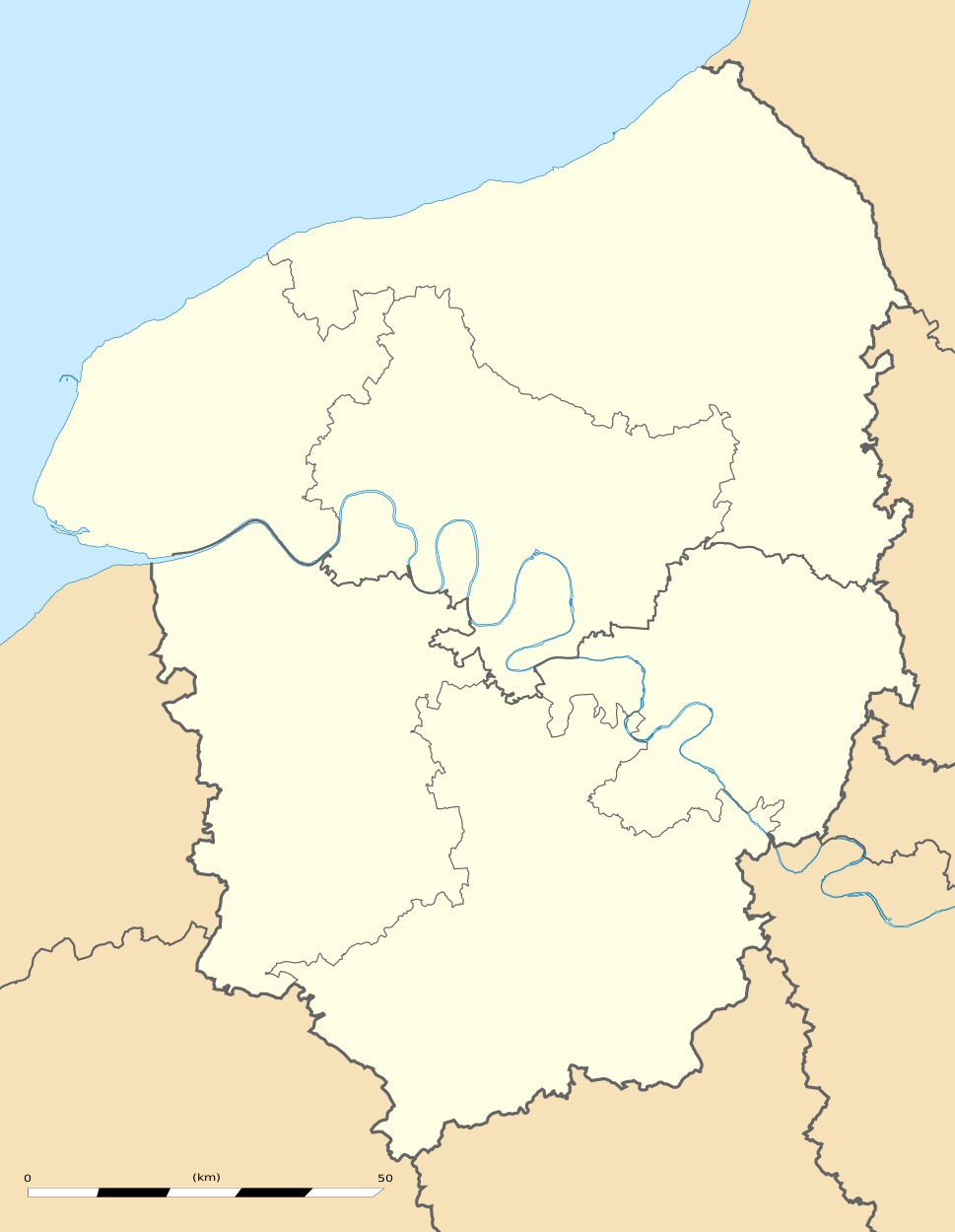
English: Blank administrative map of the region of Upper Normandy, France, for geo-location purpose, with distinct boundaries for regions, departments and arrondissements.
Français : Carte administrative vierge de la région de Haute-Normandie, France, destinée à la géolocalisation, avec limite distincte des régions, départements et arrondissements. Estimated scale: 1:560,000 (precision: 140 m)
Geographic limits of the map:
|
||
| Datum | |||
| Zdroj |
Vlastní dílo
|
||
| Autor | Eric Gaba (Sting - fr:Sting) | ||
| Svolení (Užití tohoto souboru) |
|
||
| Další verze |
|

Licence
Eric Gaba, Wikimedia Commons user Sting, držitel autorských práv k tomuto dílu, ho tímto zveřejňuje za podmínek následující licence:
Tento soubor podléhá licenci Creative Commons Uveďte autora-Zachovejte licenci 3.0 Unported
Uveďte autora: Eric Gaba, Wikimedia Commons user Sting
- Dílo smíte:
- šířit – kopírovat, distribuovat a sdělovat veřejnosti
- upravovat – pozměňovat, doplňovat, využívat celé nebo částečně v jiných dílech
- Za těchto podmínek:
- uveďte autora – Máte povinnost uvést autorství, poskytnout odkaz na licenci a uvést, pokud jste provedli změny. Toho můžete docílit jakýmkoli rozumným způsobem, avšak ne způsobem naznačujícím, že by poskytovatel licence schvaloval nebo podporoval vás nebo vaše užití díla.
- zachovejte licenci – Pokud tento materiál jakkoliv upravíte, přepracujete nebo použijete ve svém díle, musíte své příspěvky šířit pod stejnou nebo slučitelnou licencí jako originál.
Historie souboru
Kliknutím na datum a čas se zobrazí tehdejší verze souboru.
| Datum a čas | Náhled | Rozměry | Uživatel | Komentář | |
|---|---|---|---|---|---|
| současná | 10. 3. 2010, 19:05 | | 969 × 1 250 (377 KB) | Sting | == {{int:filedesc}} == {{Location|49|21|45|N|00|56|15|E|scale:500000}} <br/> {{Information |Description={{en|Blank administrative map of the region of Upper Normandy, France, for geo-location purpose, with distinct boundaries for re |
Využití souboru
Tento soubor používá následující stránka:
Globální využití souboru
Tento soubor využívají následující wiki:
- Využití na ar.wikipedia.org
- Využití na bg.wikipedia.org
- Využití na ca.wikipedia.org
- Využití na ceb.wikipedia.org
- Využití na de.wikipedia.org
- Využití na el.wikipedia.org
- Využití na en.wikipedia.org
- Využití na eo.wikipedia.org
- Využití na es.wikipedia.org
- Využití na fa.wikipedia.org
- Využití na fr.wikipedia.org
- Pont de Brotonne
- École supérieure de commerce de Rouen
- Patinoire de l'Île Lacroix
- Salle des Cotonniers
- Stade Jules-Deschaseaux
- Université de Rouen-Normandie
- Aéroport Rouen Vallée de Seine
- Stade Maurice-Thoumyre
- Stade des Vertus
- Hippodrome de Rouen-Mauquenchy
- Centre commercial de Tourville-la-Rivière
- Palais des sports de Rouen
- Grand port maritime du Havre
- Stade de la Cavée verte
- Stade Marcel-Billard
- Académie de Rouen (éducation)
- Square Marcel-Halbout
- Projet:Cartographie/Cartes standards/France
- Parc de découverte Eana
- Institut national de la boulangerie pâtisserie
- Chapelle Saint-Michel d'Ingouville
- Modèle:Géolocalisation/Haute-Normandie
- Modèle:Géolocdual/Haute-Normandie
- Golf d'Étretat
- Golf du Vaudreuil
- Golf de Rouen Mont-Saint-Aignan
- Golf de Saint-Saëns
- Golf de Dieppe-Pourville
- Modèle:Géolocalisation/Haute-Normandie/Documentation
- Stade Jean-Adret
- Wikipédia:Atelier graphique/Cartes/Archives/juin 2010
Zobrazit další globální využití tohoto souboru.