
Soubor:Bahnkarte Deutschland 1849.jpg
Velikost tohoto náhledu: 740 × 600 pixelů. Jiná rozlišení: 296 × 240 pixelů | 592 × 480 pixelů | 948 × 768 pixelů | 1 263 × 1 024 pixelů | 2 527 × 2 048 pixelů | 4 646 × 3 766 pixelů.
Původní soubor (4 646 × 3 766 pixelů, velikost souboru: 17,31 MB, MIME typ: image/jpeg)
| Tento soubor pochází z Wikimedia Commons. Níže jsou zobrazeny informace, které obsahuje jeho tamější stránka s popisem souboru. |
| Popis |
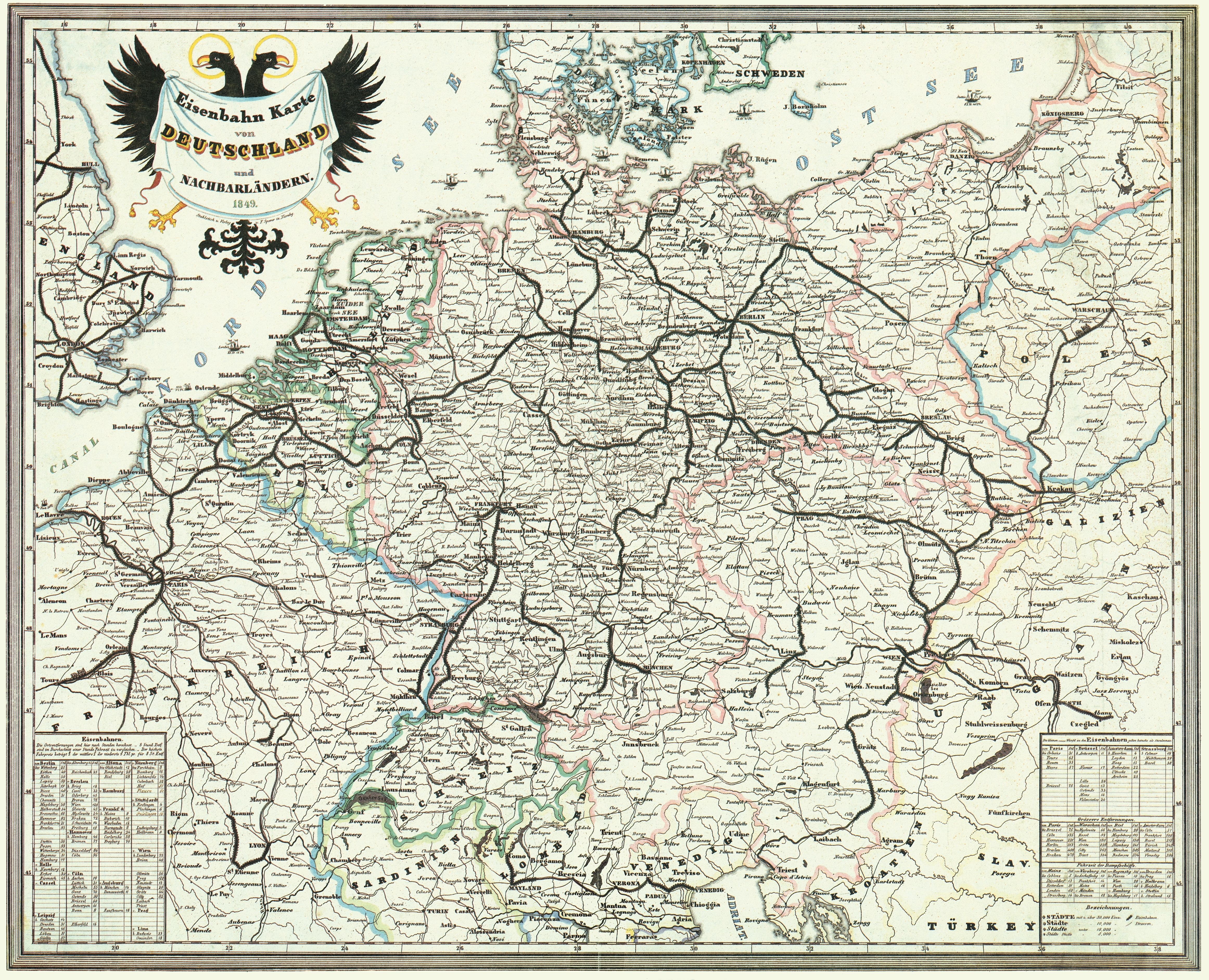
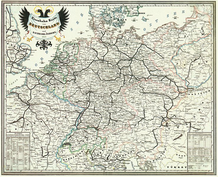
Deutsch: Bahnkarte von Deutschland und Nachbarländern 1849. Dünne Linien sind Straßen. |
| Datum | |
| Zdroj | Karten- und Luftbildstelle der DB Mainz |
| Autor | F. Sporer, Nürnberg |
| Další verze |
Díla odvozená od tohoto souboru: |
|
Toto dílo je volné také v zemích, jejichž právní řád chrání majetková autorská práva po dobu života autora a 100 let po jeho smrti. | |
| Bylo zjištěno, že u tohoto souboru nejsou známa žádná omezení daná autorským právem a právy s ním souvisejícími. | |
Historie souboru
Kliknutím na datum a čas se zobrazí tehdejší verze souboru.
| Datum a čas | Náhled | Rozměry | Uživatel | Komentář | |
|---|---|---|---|---|---|
| současná | 17. 11. 2008, 16:42 | | 4 646 × 3 766 (17,31 MB) | Jom | {{Information |Description=Bahnkarte_Deutschland_1849 |Source=Karten- und Luftbildstelle der DB Mainz |Date=1849 |Author=unknown |Permission= |other_versions= }} {{PD-old-100}} Category:Maps of the history of Germany [[Category:Public transport maps o |
Využití souboru
Tento soubor používá následující stránka:
Globální využití souboru
Tento soubor využívají následující wiki:
- Využití na de.wikipedia.org
- 1849
- Geschichte der Eisenbahn
- Geschichte der Eisenbahn in Deutschland
- Portal:Bahn/Mitmachen/Literatur
- Stargard-Posener Eisenbahn
- Wilhelmsbahn
- K.k. Östliche Staatsbahn
- Krakau-Oberschlesische Eisenbahn
- Stammstrecke der Köln-Mindener Eisenbahn-Gesellschaft
- Benutzer:Jom/Maps
- Warschau-Wiener Eisenbahn
- Oberschlesische Eisenbahn
- Diskussion:Bahnstrecke Kędzierzyn-Koźle–Opole
- Využití na en.wikipedia.org
- Využití na fr.wikipedia.org
- Využití na hu.wikipedia.org
- Využití na it.wikipedia.org
- Využití na ja.wikipedia.org
- Využití na nl.wikipedia.org
- Využití na pl.wikipedia.org
- Využití na sk.wikipedia.org
- Využití na zh.wikipedia.org