
Soubor:Canada Prairie provinces map.svg

Velikost tohoto PNG náhledu tohoto SVG souboru: 619 × 600 pixelů. Jiná rozlišení: 248 × 240 pixelů | 496 × 480 pixelů | 793 × 768 pixelů | 1 057 × 1 024 pixelů | 2 114 × 2 048 pixelů | 1 304 × 1 263 pixelů.
Původní soubor (soubor SVG, nominální rozměr: 1 304 × 1 263 pixelů, velikost souboru: 94 KB)
| Tento soubor pochází z Wikimedia Commons. Níže jsou zobrazeny informace, které obsahuje jeho tamější stránka s popisem souboru. |
Popis
| Popis |
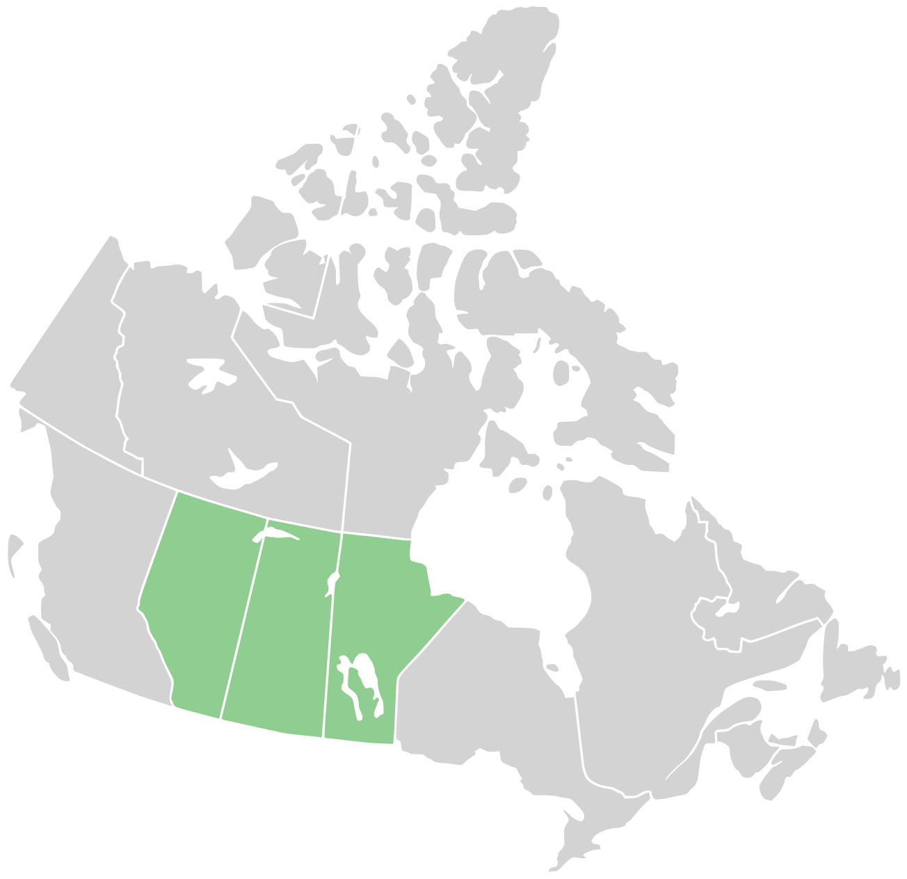
English: Map of the Prairie provinces in central Canada. The northern reach of the Great Plains of North America are found in these provinces. |
| Datum | |
| Zdroj |
Tento soubor byl odvozen z: Canada blank map.svg |
| Autor | User:Derfel73; User:Lokal_Profil |
Licence
Tento soubor podléhá licenci Creative Commons Uveďte autora-Zachovejte licenci 3.0 Unported
- Dílo smíte:
- šířit – kopírovat, distribuovat a sdělovat veřejnosti
- upravovat – pozměňovat, doplňovat, využívat celé nebo částečně v jiných dílech
- Za těchto podmínek:
- uveďte autora – Máte povinnost uvést autorství, poskytnout odkaz na licenci a uvést, pokud jste provedli změny. Toho můžete docílit jakýmkoli rozumným způsobem, avšak ne způsobem naznačujícím, že by poskytovatel licence schvaloval nebo podporoval vás nebo vaše užití díla.
- zachovejte licenci – Pokud tento materiál jakkoliv upravíte, přepracujete nebo použijete ve svém díle, musíte své příspěvky šířit pod stejnou nebo slučitelnou licencí jako originál.
Historie souboru
Kliknutím na datum a čas se zobrazí tehdejší verze souboru.
| Datum a čas | Náhled | Rozměry | Uživatel | Komentář | |
|---|---|---|---|---|---|
| současná | 23. 8. 2011, 17:28 | | 1 304 × 1 263 (94 KB) | Derfel73 | {{Information |Description ={{en|1=Map of the Prairie provinces in central Canada. The northern reach or the Great Plains of North America are found in these provinces.}} |Source ={{Derived from|Canada_blank_map.svg}} |Author =[[User:De |
Využití souboru
Tento soubor používají následující 2 stránky:
Globální využití souboru
Tento soubor využívají následující wiki:
- Využití na be-tarask.wikipedia.org
- Využití na ca.wikipedia.org
- Využití na de.wikipedia.org
- Využití na en.wiktionary.org
- Využití na eo.wikipedia.org
- Využití na es.wikipedia.org
- Využití na fa.wikipedia.org
- Využití na fr.wikipedia.org
- Využití na fy.wikipedia.org
- Využití na gl.wikipedia.org
- Využití na id.wikipedia.org
- Využití na it.wikipedia.org
- Využití na it.wikivoyage.org
- Využití na pl.wikipedia.org
- Využití na pt.wikipedia.org
- Využití na ru.wikipedia.org
- Využití na sr.wikipedia.org
- Využití na tr.wikipedia.org
- Využití na uk.wikipedia.org
- Využití na www.wikidata.org